Indonesia · Stratovolcano
Gunung Patah
Patah
- Type
- Stratovolcano
- Elevation
- 2836m
- Last eruption
- Unknown
- Type
- Stratovolcano
- Country
- Indonesia
- Region
- Sunda & Banda / Sunda Volcanic Arc
- Elevation
- 2836m
- Coordinates
- -4.257, 103.306
- Last eruption
- Unknown
- Tectonic setting
- Subduction zone / Continental crust (> 25 km)
- Landform
- Composite
- Major rock type
- No data
Geological summary
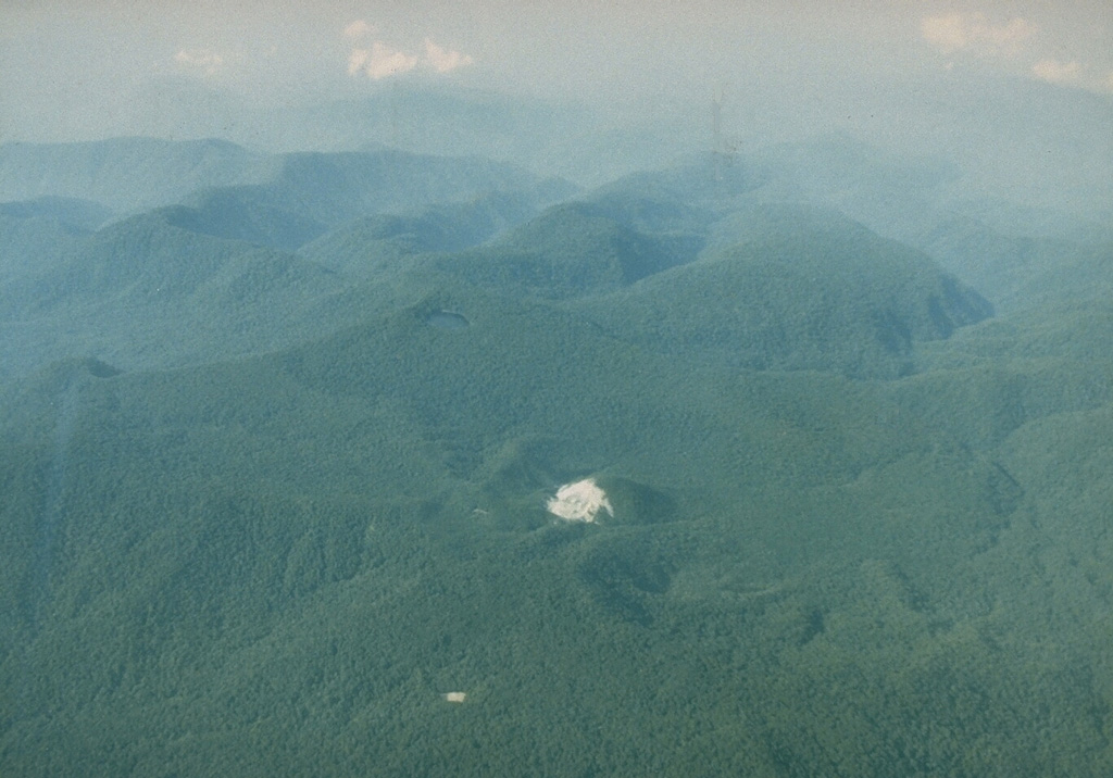
Patah is a heavily forested, dissected Quaternary volcano SE of Dempo volcano. The age of its latest eruptions is not known, although on 1 May 1989 a possible new 150-m-wide crater with active fumaroles was observed by a cargo aircraft pilot in a heavily forested area on the side of a small cone about 3 km SE of Gunung Patah. The exact date of its formation, and its geologic relationship to Patah are uncertain. A crater lake at the summit of another peak, Bukit Belirang (Sulfur Hill), is located 1.5 km S of the fumaroles.
Eruption history
GlossaryDetailed timeline
No eruption records available.
Nearby volcanoes
External links
⚠ For reference only. Not for emergency response.