Indonesia · Stratovolcano
Ililabalekan
- Type
- Stratovolcano
- Elevation
- 1018m
- Last eruption
- Unknown
- Type
- Stratovolcano
- Country
- Indonesia
- Region
- Sunda & Banda / Sunda Volcanic Arc
- Elevation
- 1018m
- Coordinates
- -8.550, 123.380
- Last eruption
- Unknown
- Tectonic setting
- Subduction zone / Crustal thickness unknown
- Landform
- Composite
- Major rock type
- Basalt / Picro-basalt
Geological summary
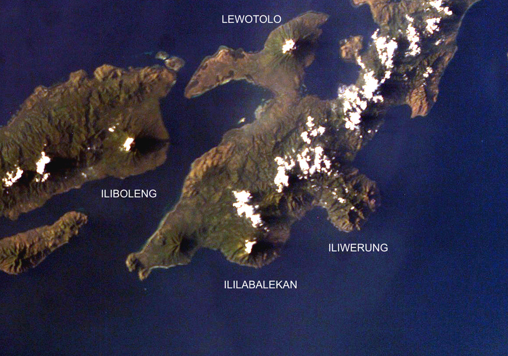
Ililabalekan volcano is situated on a prominent peninsula in SW Lembata (formerly Lomblen) Island. A satellitic cone was constructed on the SE flank of the steep-sided volcano.
Excerpt from the Global Volcanism Program, Smithsonian Institution · Read the full summary on GVP →
From Wikipedia
Ililabalekan volcano is located on a notable peninsula within the southwestern region of Lembata Island which is a part of Indonesia, previously known as Lomblen Island. On the southeastern slope of this steep-sided Volcano, a satellite cone has formed. The summit of Mount Labalekan features four craters, including one that harbors a lava dome and two smaller explosion pits. While there is no recorded history of eruptions from this volcano, it does exhibit fumaroles near its summit.
Wikipedia · CC BY-SA · Read full article →
Eruption history
GlossaryDetailed timeline
No eruption records available.
Nearby volcanoes
External links
⚠ For reference only. Not for emergency response.