Japan · Caldera
Kita-Bayonnaise
- Type
- Caldera
- Elevation
- 360m (submarine)
- Last eruption
- Unknown
- Type
- Caldera
- Country
- Japan
- Region
- Northwestern Pacific / Izu Volcanic Arc
- Elevation
- 360m (submarine)
- Coordinates
- 32.100, 139.850
- Last eruption
- Unknown
- Tectonic setting
- Subduction zone / Oceanic crust (< 15 km)
- Landform
- Caldera
- Major rock type
- Rhyolite
Geological summary
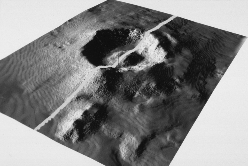
The large submarine Kita-Bayonnaise (North Bayonnaise) submarine caldera, also known as Myojin Knoll, lies between the Aogashima and Myojinsho (also called Beyonesu Rocks) calderas about 300 km SSE of the Izu Peninsula.
Excerpt from the Global Volcanism Program, Smithsonian Institution · Read the full summary on GVP →
Eruption history
GlossaryDetailed timeline
No eruption records available.
Nearby volcanoes
External links
- Not yet on Wikipedia (English). You can contribute on Wikidata.
- Smithsonian GVP source page
⚠ For reference only. Not for emergency response.