Japan · Stratovolcano
Kita-Fukutokutai
- Type
- Stratovolcano
- Elevation
- 73m (submarine)
- Last eruption
- 1954
- Type
- Stratovolcano
- Country
- Japan
- Region
- Northwestern Pacific / Ogasawara Volcanic Arc
- Elevation
- 73m (submarine)
- Coordinates
- 24.417, 141.417
- Last eruption
- 1954
- Tectonic setting
- Subduction zone / Crustal thickness unknown
- Landform
- Composite
- Major rock type
- No data
Geological summary
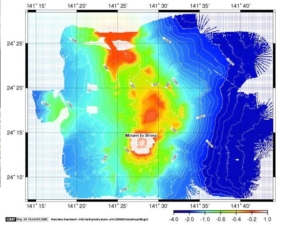
Kita-Fukutokutai is a submarine volcano halfway between the Ioto and Minami-Ioto islands. The volcano rises to within 73 m of the ocean surface. Water discoloration was reported several times beginning in 1937, and floating pumice was seen during 1953-54. In 1988 a fishing boat reported an eruption column about 100 m high, although the report was not confirmed at the time. The Japan Meteorological Agency has classified Kita-Fukutokutai as an active volcano.
Eruption history
6 recordedGlossarySummary (VEI over time)
Click a bar to see individual eruptions · Use arrow keys to move between bars, Enter to open
Detailed timeline
- 2001VEI 0Method not stated2001-10-30 – 2001-10-3024.443 N, 141.378 E
- 1988VEI 1Method not stated1988-01-27 – end unknown
- 1959VEI 0Method not stated1959-07-02 – end unknown
- 1953VEI 0Observed1953-07-02 – 1954-07-02
- 1947VEI 0Method not stated1947-07-02 – end unknown
- 1937VEI 0Method not stated1937-07-02 – end unknown
Nearby volcanoes
External links
- Not yet on Wikipedia (English). You can contribute on Wikidata.
- Smithsonian GVP source page
⚠ For reference only. Not for emergency response.