Japan (administered by Russia) · Stratovolcano
Tebenkova
Odamoisan [Tebenkov]
- Type
- Stratovolcano
- Elevation
- 1208m
- Last eruption
- Unknown
- Type
- Stratovolcano
- Country
- Japan (administered by Russia)
- Region
- Northwestern Pacific / Kuril Volcanic Arc
- Elevation
- 1208m
- Coordinates
- 45.029, 147.917
- Last eruption
- Unknown
- Tectonic setting
- Subduction zone / Intermediate crust (15-25 km)
- Landform
- Composite
Geological summary
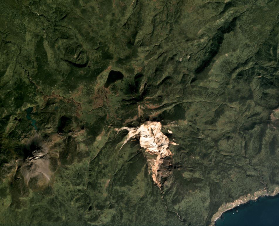
Odamoisan (also known as Tebenkov), lies in the center of Iturup Island along the E coast. This forested andesitic volcano is ~4 km NE of the Etorofu-Yakeyama (Ivan Grozny) dome complex. A large eroded valley on the S side, named the Machekh crater, displays strong fumarolic activity and heavily altered surface deposts. There have been no observed eruptions.
Eruption history
GlossaryDetailed timeline
No eruption records available.
Nearby volcanoes
External links
- Not yet on Wikipedia (English). You can contribute on Wikidata.
- Smithsonian GVP source page
⚠ For reference only. Not for emergency response.