Russia · Pyroclastic cone
Zavaritsky
- Type
- Pyroclastic cone
- Elevation
- 1547m
- Last eruption
- -800
- Type
- Pyroclastic cone
- Country
- Russia
- Region
- Northwestern Pacific / Eastern Kamchatka Volcanic Arc
- Elevation
- 1547m
- Coordinates
- 53.907, 158.385
- Last eruption
- -800
- Tectonic setting
- Subduction zone / Continental crust (> 25 km)
- Landform
- Composite
- Major rock type
- Basalt / Picro-basalt
Geological summary
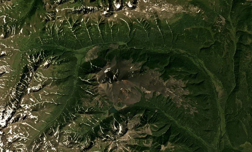
Zavaritsky volcano consists of a complex of six cinder cones trending NW-SE, and an explosion crater located near the headwaters of the Levaya Avacha River west of the main Eastern Kamchatka volcanic arc. The six cones were formed during an eruption about 2,800 years ago, during which associated lava flows blocked the Levaya Avacha and Ozernaya rivers, forming Lake Vulkanischeskoe along the Ozernaya drainage. The highest cone, Mount Peschanaya, lies near the southern end of the cone group. Other monogenetic cinder cones are located NW and NE of the volcano. The Berezovy cinder cone to the NW erupted ~11,000-10,000 radiocarbon years ago. An unnamed cone near the crest of a range dividing the Srednaya Avacha and Kavicha river drainages, about 14 km WNW, erupted about 3,000-2,500 years ago; it is slightly closer to Bakening volcano, but the chemistry of its products are related to those of Zavaritsky.
Eruption history
2 recordedGlossaryDetailed timeline
- 800 BCE (±500 yrs)VEI 2Geological estimate800 BCE – end unknown14 km WNW of Zavaritsky
- 850 BCEVEI 4Geological estimate850 BCE – end unknownMt. Peschanaya and adjacent cones
Nearby volcanoes
External links
- Not yet on Wikipedia (English). You can contribute on Wikidata.
- Smithsonian GVP source page
⚠ For reference only. Not for emergency response.