Russia · Volcanic field
Sedankinsky
Sedanka Lava Field
- Type
- Volcanic field
- Elevation
- 1399m
- Last eruption
- -7050
- Type
- Volcanic field
- Country
- Russia
- Region
- Northwestern Pacific / Central Kamchatka Volcanic Arc
- Elevation
- 1399m
- Coordinates
- 57.317, 160.067
- Last eruption
- -7050
- Tectonic setting
- Subduction zone / Continental crust (> 25 km)
- Landform
- Cluster
- Major rock type
- Basalt / Picro-basalt
Geological summary
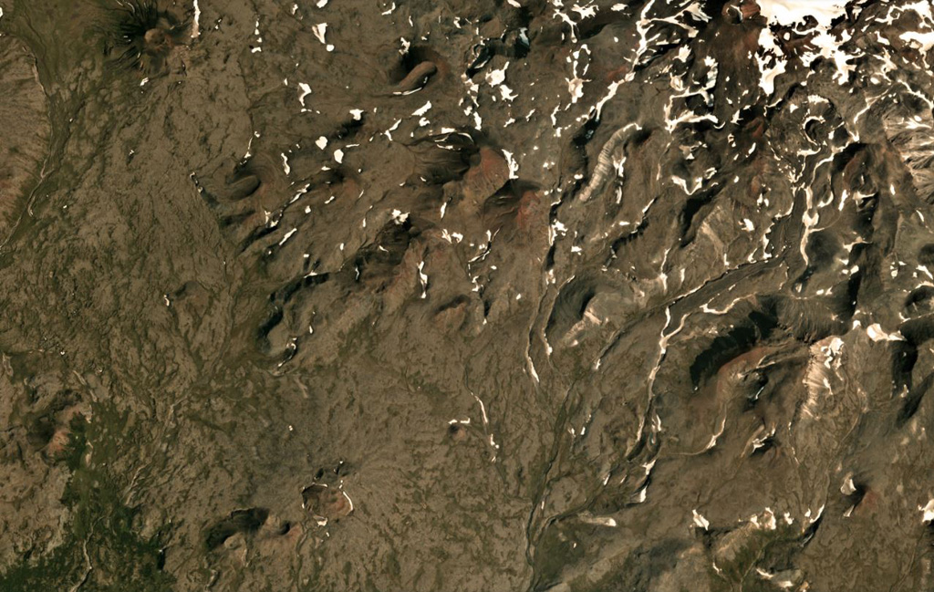
The Sedanka lava field (Sedanka Dol) is located immediately west of the Sredinny Range axis and is formed by dominantly mafic lavas from small strato- and shield-like volcanoes, along with more than 100 cinder and lava cones of the late Pleistocene-Holocene age. For this compilation the volcanic field area is considered to be up to 10 km wide and stretching about 25 km from south of Gorny Institute volcano towards the NNW between Tuzovsky volcano to the SW and Titila to the NE. Other workers (eg. Nekrylov et al., 2015) define the field to include the eight large edifices from Terpuk on the SW to Shishel on the NE.
Eruption history
1 recordedGlossarySummary (VEI over time)
Click a bar to see individual eruptions · Use arrow keys to move between bars, Enter to open
Detailed timeline
- 7050 BCE (±1000 yrs)VEI ?Geological estimate7050 BCE – end unknown
Nearby volcanoes
External links
- Not yet on Wikipedia (English). You can contribute on Wikidata.
- Smithsonian GVP source page
⚠ For reference only. Not for emergency response.