China · Volcanic field
Honggeertu volcanic field
Honggeertu
- Type
- Volcanic field
- Elevation
- 1605m
- Last eruption
- Unknown
- Type
- Volcanic field
- Country
- China
- Region
- Eastern Asia / Central East Asia Volcanic Province
- Elevation
- 1605m
- Coordinates
- 41.590, 113.111
- Last eruption
- Unknown
- Tectonic setting
- Intraplate / Continental crust (> 25 km)
- Landform
- Cluster
- Major rock type
- Basalt / Picro-basalt
Geological summary
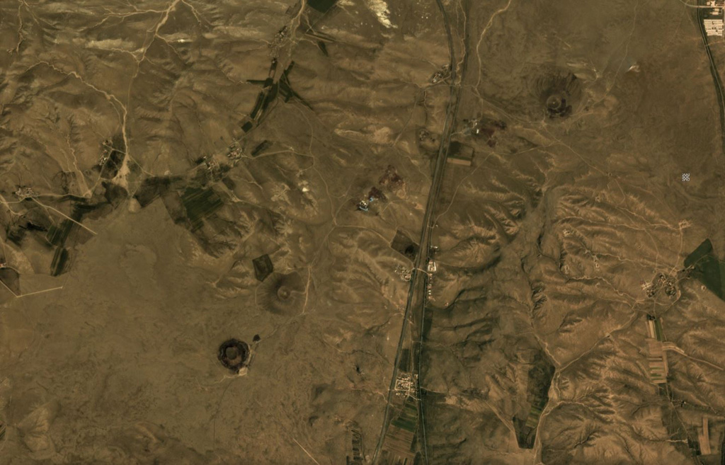
The Honggeertu volcanic field is located in Nei Mongol Province, NW of Beijing. The basaltic volcanic field consists of a group of six cinder cones extending along an arc for about 10 km that were considered to be of Holocene age by IAVCEI (1973). Liu (1998, p.c.), however, considered the existence of Holocene volcanism at this location to be uncertain.
Eruption history
GlossaryDetailed timeline
No eruption records available.
Nearby volcanoes
External links
⚠ For reference only. Not for emergency response.