China · Volcanic field
Keluo
Keluo Group
- Type
- Volcanic field
- Elevation
- 670m
- Last eruption
- Unknown
- Type
- Volcanic field
- Country
- China
- Region
- Eastern Asia / Central East Asia Volcanic Province
- Elevation
- 670m
- Coordinates
- 49.370, 125.920
- Last eruption
- Unknown
- Tectonic setting
- Intraplate / Continental crust (> 25 km)
- Landform
- Cluster
- Major rock type
- Trachybasalt / Tephrite basanite
Geological summary
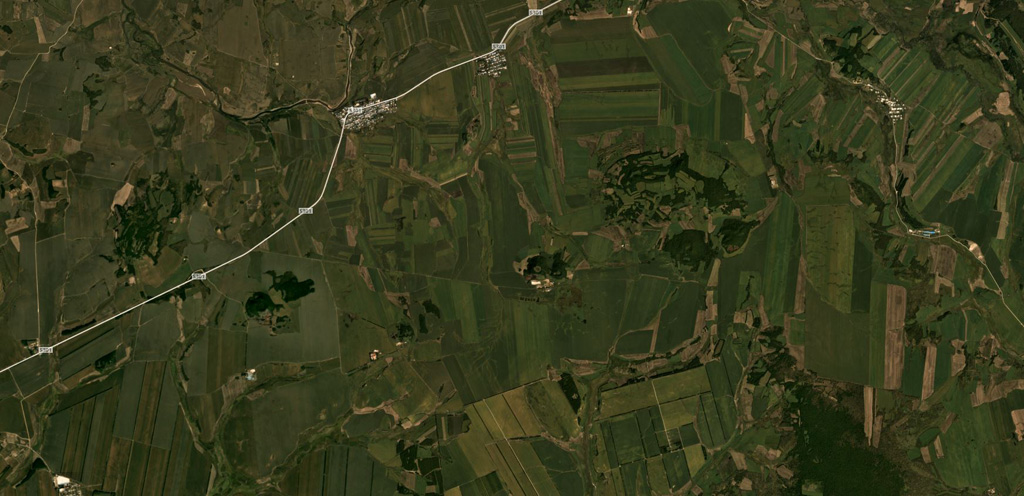
The Keluo volcanic field in NE China is located near the Russian border, S of the Heilongjiang (Black Dragon) River. Like its better known neighbor to the S, the Wudalianchi volcanic field, it contains many high-potassium basaltic cinder cones. Nanshan cone, located at the southern end of the field N of the Keluo River, may be of historical age, based on its youthful appearance, and Gushan may also be Holocene. Other cones to the NE are of Pleistocene to Tertiary. Cinder cones are located at the intersections of regional NE- and NW-trending lineaments, and were erupted through basement volcanic and sedimentary rocks of Jurassic-Cretaceous age, granitic rocks, and pre-Permian metasediments. There are unconfirmed reports of observed activity.
Eruption history
GlossaryDetailed timeline
No eruption records available.
Nearby volcanoes
External links
⚠ For reference only. Not for emergency response.