United States · Tuff ring
Buzzard Creek
- Type
- Tuff ring
- Elevation
- 830m
- Last eruption
- -1050
- Type
- Tuff ring
- Country
- United States
- Region
- North America / Alaska Peninsula Volcanic Arc
- Elevation
- 830m
- Coordinates
- 64.062, -148.433
- Last eruption
- -1050
- Tectonic setting
- Subduction zone / Continental crust (> 25 km)
- Landform
- Minor (basaltic)
- Major rock type
- Basalt / Picro-basalt
Geological summary
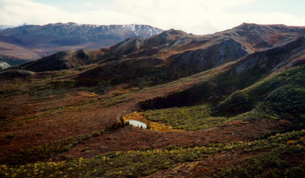
Two Holocene tuff rings form craters 300 and 66 m wide near the headwaters of Buzzard Creek at the northern foot of the central Alaska Range NE of the town of Healy along the Parks Highway.
Excerpt from the Global Volcanism Program, Smithsonian Institution · Read the full summary on GVP →
From Wikipedia
The Buzzard Creek craters are two tuff rings near Healy, Alaska, United States. Its highest point is 2,723 ft.
Wikipedia · CC BY-SA · Read full article →
Eruption history
1 recordedGlossaryRecord summary
- Confirmed eruptions
- 1
- Uncertain eruptions
- 0
- Span of confirmed record
- 1050 BCE – 1050 BCE
- Largest confirmed eruption
- VEI 2 (1050 BCE)
- Confirmed eruptions since 1900
- 0
Summary (VEI over time)
Click a bar to see individual eruptions · Use arrow keys to move between bars, Enter to open
Detailed timeline
- 1050 BCEVEI 2Geological estimate1050 BCE – end unknown
Nearby volcanoes
External links
⚠ For reference only. Not for emergency response.