United States · Volcanic field
Behm Canal-Rudyerd Bay
- Type
- Volcanic field
- Elevation
- 500m
- Last eruption
- Unknown
- Type
- Volcanic field
- Country
- United States
- Region
- North America / Northern Cordilleran Volcanic Province
- Elevation
- 500m
- Coordinates
- 55.350, -131.000
- Last eruption
- Unknown
- Tectonic setting
- Intraplate / Continental crust (> 25 km)
- Landform
- Cluster
- Major rock type
- Basalt / Picro-basalt
Geological summary
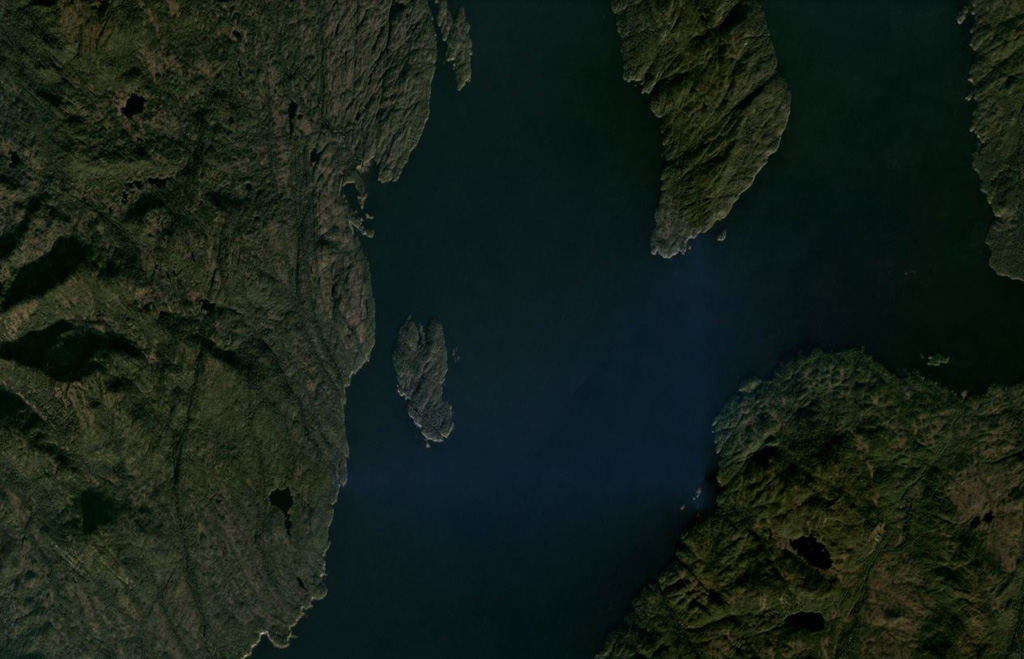
Numerous basaltic cinder cones and lava flows occur in the panhandle of SE Alaska on both sides of Behm Canal, which divides Revillagigedo Island from the mainland.
Excerpt from the Global Volcanism Program, Smithsonian Institution · Read the full summary on GVP →
Eruption history
GlossaryDetailed timeline
No eruption records available.
Nearby volcanoes
External links
- Not yet on Wikipedia (English). You can contribute on Wikidata.
- Smithsonian GVP source page
⚠ For reference only. Not for emergency response.