Canada · Volcanic field
Bridge River Cones
- Type
- Volcanic field
- Elevation
- 2500m
- Last eruption
- Unknown
- Type
- Volcanic field
- Country
- Canada
- Region
- North America / Garibaldi Volcanic Arc
- Elevation
- 2500m
- Coordinates
- 50.800, -123.400
- Last eruption
- Unknown
- Tectonic setting
- Subduction zone / Continental crust (> 25 km)
- Landform
- Cluster
- Major rock type
- Basalt / Picro-basalt
Geological summary
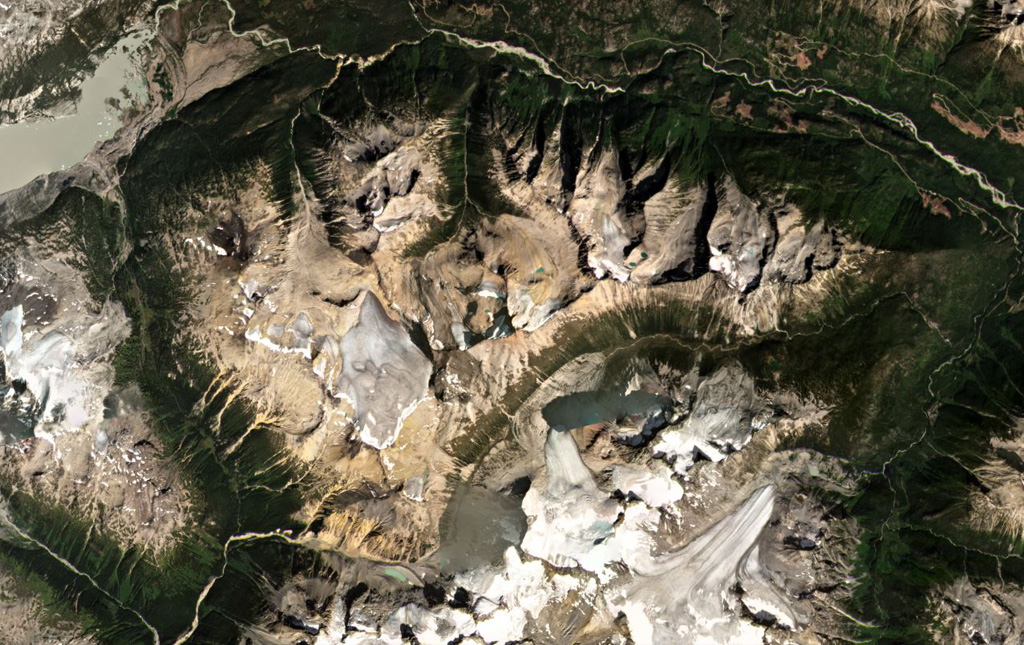
The Bridge River Cones volcanic field consists of a group of small basaltic and trachybasaltic eruptive centers at the extreme northern end of the Garibaldi volcanic belt in SW British Columbia.
Excerpt from the Global Volcanism Program, Smithsonian Institution · Read the full summary on GVP →
From Wikipedia
The Bridge River Cones, sometimes referred to as the Lillooet Cones and Salal Creek Cones, is the name given to a volcanic field located on the north flank of the upper Bridge River, about 40 km (25 mi) west of the town of Gold Bridge. The cones are in the lee of the Lillooet Icecap and sit astride a group of passes between the Bridge River, which flows W-E to their south, and the Lord River, which flows north to the Taseko Lakes in the Chilcotin District.
Wikipedia · CC BY-SA · Read full article →
Eruption history
GlossaryDetailed timeline
No eruption records available.
Nearby volcanoes
External links
⚠ For reference only. Not for emergency response.