United States · Volcanic field
Red Hill volcanic field
Red Hill-Quemado
- Type
- Volcanic field
- Elevation
- 2300m
- Last eruption
- -9450
- Type
- Volcanic field
- Country
- United States
- Region
- North America / Basin and Range Volcanic Province
- Elevation
- 2300m
- Coordinates
- 34.250, -108.830
- Last eruption
- -9450
- Tectonic setting
- Rift zone / Continental crust (> 25 km)
- Landform
- Cluster
- Major rock type
- Basalt / Picro-basalt
Geological summary
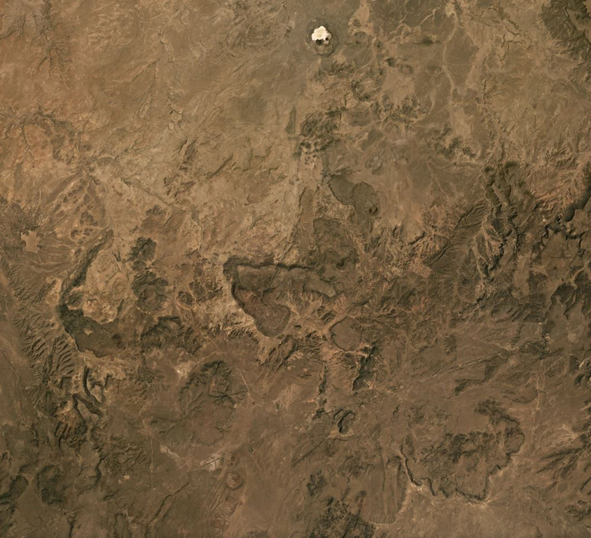
The Red Hill-Quemado volcanic field in western New Mexico is across the border from the Springerville volcanic field in Arizona and contains more than 40 cinder cones and maars that were active from the late Miocene to early Holocene. The volcanic field lies along the NE-trending Jemez Lineament that extends from SE Colorado to east-central Arizona. Dating by Onken and Forman (2017) showed that three eruptive events took place during the early Holocene, and that the 2-km-wide Zuni Salt Lake maar with its late-stage nested cinder cones was formed about 11,000-11,800 calibrated 14C years ago.
Eruption history
3 recordedGlossarySummary (VEI over time)
Click a bar to see individual eruptions · Use arrow keys to move between bars, Enter to open
Detailed timeline
- 9450 BCE (±400 yrs)VEI ?Geological estimate9450 BCE – end unknownZuni Salt Lake maar
- 9700 BCE (±450 yrs)VEI ?Geological estimate9700 BCE – end unknown2.5 km radius of Zuni Salt Lake
- 9850 BCE (±500 yrs)VEI ?Geological estimate9850 BCE – end unknownCerro Pomo?
Nearby volcanoes
External links
⚠ For reference only. Not for emergency response.