Guatemala · Stratovolcano
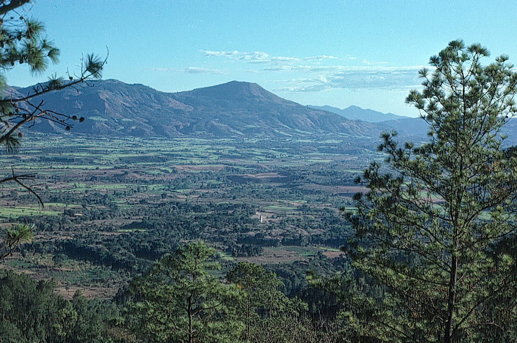
Volcán Jumaytepeque
Jumaytepeque
- Type
- Stratovolcano
- Elevation
- 1802m
- Last eruption
- Unknown
- Type
- Stratovolcano
- Country
- Guatemala
- Region
- Middle America & Caribbean / Central America Volcanic Arc
- Elevation
- 1802m
- Coordinates
- 14.340, -90.271
- Last eruption
- Unknown
- Tectonic setting
- Subduction zone / Continental crust (> 25 km)
- Landform
- Composite
- Major rock type
- Basalt / Picro-basalt
Geological summary
Jumaytepeque is a small basaltic stratovolcano located NNE of the city of Cuilapa, north of the major NW-SE-trending Jalpatagua fault that cuts diagonally across SE Guatemala.
Excerpt from the Global Volcanism Program, Smithsonian Institution · Read the full summary on GVP →
From Wikipedia
Volcán Jumaytepeque is a stratovolcano in south-eastern Guatemala. The 1,815-metre-high (5,955 ft) volcano is located about 7 km north-north-east of the city of Cuilapa, near the south-eastern rim of the large Miocene Santa Rosa de Lima caldera.
Wikipedia · CC BY-SA · Read full article →
Eruption history
GlossaryDetailed timeline
No eruption records available.
Nearby volcanoes
External links
⚠ For reference only. Not for emergency response.