Colombia · Stratovolcano
Nevado del Huila
Huila, Nevado del
- Type
- Stratovolcano
- Elevation
- 5364m
- Last eruption
- 2012
- Type
- Stratovolcano
- Country
- Colombia
- Region
- South America / Northern Andean Volcanic Arc
- Elevation
- 5364m
- Coordinates
- 2.930, -76.030
- Last eruption
- 2012
- Tectonic setting
- Subduction zone / Continental crust (> 25 km)
- Landform
- Composite
- Major rock type
- Andesite / Basaltic andesite
Geological summary
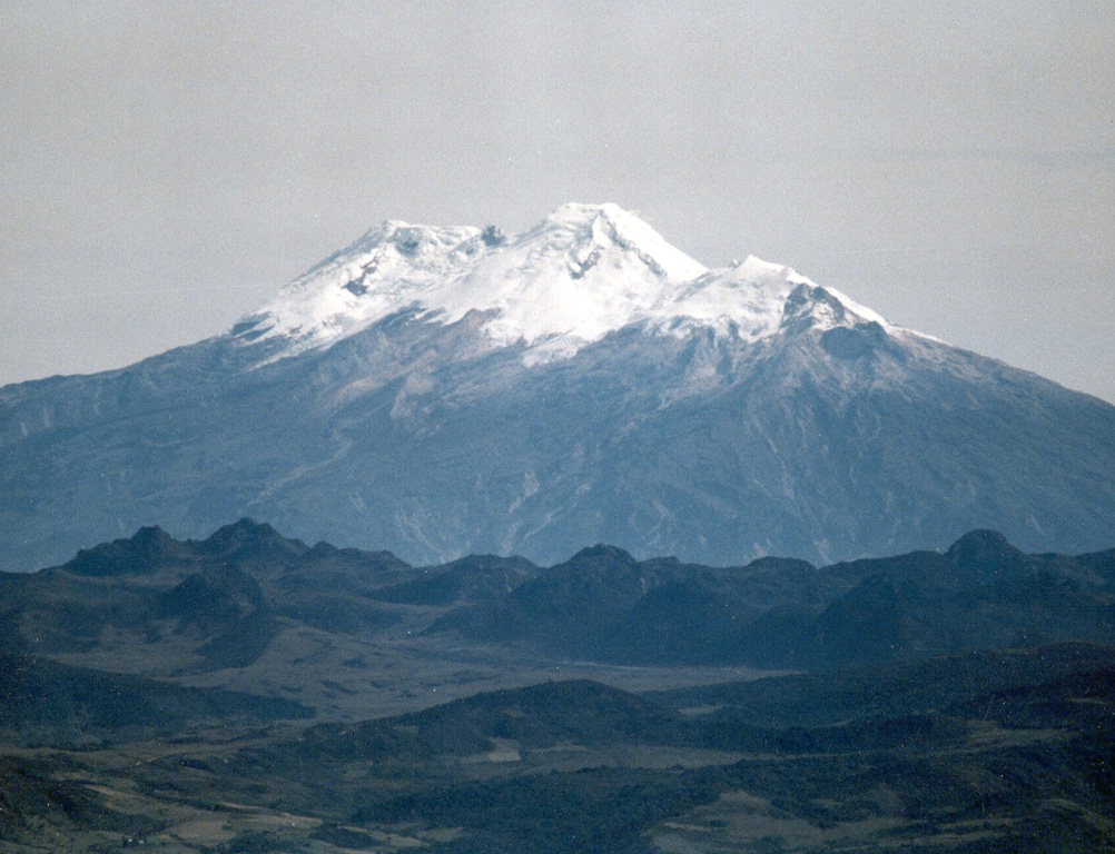
Nevado del Huila, the highest peak in the Colombian Andes, is an elongated N-S-trending volcanic chain mantled by a glacier icecap.
Excerpt from the Global Volcanism Program, Smithsonian Institution · Read the full summary on GVP →
From Wikipedia
Nevado del Huila at 5,364 metres (17,598 ft) is the highest volcano in Colombia, located at the tripoint of the departments of Huila, Tolima and Cauca. It is visible from the city of Cali. The andesitic volcano is located on top of the Ibagué Batholith.
Wikipedia · CC BY-SA · Read full article →
Eruption history
4 recordedGlossaryRecord summary
- Confirmed eruptions
- 4
- Uncertain eruptions
- 0
- Span of confirmed record
- 1555 (±5 yrs) – 2012
- Largest confirmed eruption
- VEI 3 (2008, the most recent of 2)
- Confirmed eruptions since 1900
- 3
Summary (VEI over time)
Click a bar to see individual eruptions · Use arrow keys to move between bars, Enter to open
Detailed timeline
- 2008VEI 2Observed2008-01-02 – 2008-04-16
- 2008VEI 3Observed2008-10-26 – 2012-01-14Upper SW side of Pico Central
- 2007VEI 3Observed2007-02-19 – 2007-05-28
- 1555 (±5 yrs)VEI ?Observed1555 – end unknown
Nearby volcanoes
External links
⚠ For reference only. Not for emergency response.