Ecuador · Stratovolcano
Soche
- Type
- Stratovolcano
- Elevation
- 3955m
- Last eruption
- -6650
- Type
- Stratovolcano
- Country
- Ecuador
- Region
- South America / Northern Andean Volcanic Arc
- Elevation
- 3955m
- Coordinates
- 0.552, -77.580
- Last eruption
- -6650
- Tectonic setting
- Subduction zone / Continental crust (> 25 km)
- Landform
- Composite
- Major rock type
- Dacite
Geological summary
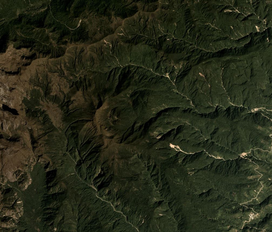
Volcán el Soche, a small stratovolcano near the Colombia border, is the northernmost of a chain of Ecuadorian volcanoes east of the principal volcanic axis.
Excerpt from the Global Volcanism Program, Smithsonian Institution · Read the full summary on GVP →
From Wikipedia
Soche is a 3,955-metre-high (12,976 ft) dacitic volcano in Ecuador and is located on the northern end of a secondary volcanic chain. Constructed on a Paleozoic substratum, it contains an eastwards-opening caldera in the summit region. A large eruption in 6650 BCE generated ashfall into Colombia and two lava domes in the caldera. The ash- and lapilli-fall is about a metre thick in the Interandean valley and the neighbouring cordilleras and most likely represented a long-lasting obstacle for human population. Earlier eruptive events involving a lava flow that was subsequently offset by a fault zone named the Cayambe-Chingual fault by 110m occurred 9.67 ka BP, and another involving a pyroclastic flow was dated at 37.22 ± 0.63 ka BP.
Wikipedia · CC BY-SA · Read full article →
Eruption history
1 recordedGlossaryRecord summary
- Confirmed eruptions
- 1
- Uncertain eruptions
- 0
- Span of confirmed record
- 6650 BCE – 6650 BCE
- Largest confirmed eruption
- VEI 5 (6650 BCE)
- Confirmed eruptions since 1900
- 0
Detailed timeline
- 6650 BCEVEI 5Geological estimate6650 BCE – end unknown
Nearby volcanoes
External links
⚠ For reference only. Not for emergency response.