Ecuador · Stratovolcano
Aliso
- Type
- Stratovolcano
- Elevation
- 4267m
- Last eruption
- -2450
- Type
- Stratovolcano
- Country
- Ecuador
- Region
- South America / Northern Andean Volcanic Arc
- Elevation
- 4267m
- Coordinates
- -0.530, -78.000
- Last eruption
- -2450
- Tectonic setting
- Subduction zone / Continental crust (> 25 km)
- Landform
- Composite
- Major rock type
- Andesite / Basaltic andesite
Geological summary
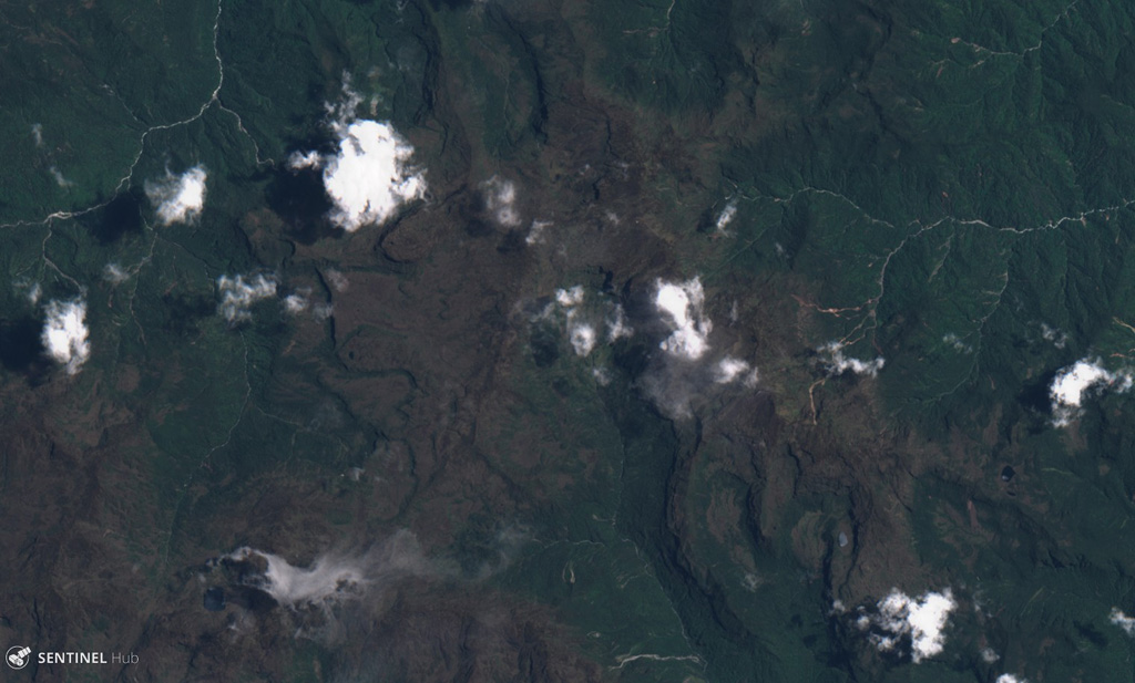
The Aliso volcanic complex lies at the eastern foot of the Ecuadorian Andes, east of Antisana volcano and SW of the town of Baeza.
Excerpt from the Global Volcanism Program, Smithsonian Institution · Read the full summary on GVP →
From Wikipedia
Aliso, also known as Pan de Azúcar, is a 3,482-metre-high (11,424 ft) volcano in the Ecuadorian Andes to the east of Antisana volcano. The complex contains a semicircular western ridge and lava domes. The volcano has erupted rhyolites and dacites and some andesitic lava flows on a ridge above Baeza. It is covered with tundra and cloud forests. At least two eruptions of Pumayacu occurred during the Holocene; one dated 4400 years ago and another's lapilli deposits overlie a cultural horizon 2000 years old. Older eruptions have been dated at 1.15 ± 0.07 Ma and are of high-potassium types. They compromise typical arc-derived lavas with fractional crystallization and other differentiation processes.
Wikipedia · CC BY-SA · Read full article →
Eruption history
1 recordedGlossaryRecord summary
- Confirmed eruptions
- 1
- Uncertain eruptions
- 0
- Span of confirmed record
- 2450 BCE – 2450 BCE
- Largest confirmed eruption
- No VEI recorded
- Confirmed eruptions since 1900
- 0
Detailed timeline
- 2450 BCEVEI ?Geological estimate2450 BCE – end unknownPumayucu
Nearby volcanoes
External links
⚠ For reference only. Not for emergency response.