Chile · Bolivia · Stratovolcano
Irruputuncu
- Type
- Stratovolcano
- Elevation
- 5163m
- Last eruption
- 1995
- Type
- Stratovolcano
- Country
- Chile · Bolivia
- Region
- South America / Central Andean Volcanic Arc
- Elevation
- 5163m
- Coordinates
- -20.730, -68.550
- Last eruption
- 1995
- Tectonic setting
- Subduction zone / Continental crust (> 25 km)
- Landform
- Composite
- Major rock type
- Andesite / Basaltic andesite
Geological summary
Irruputuncu is a small stratovolcano that straddles the Chile/Bolivia border. It is the youngest and most southerly of a NE-SW-trending chain of volcanoes.
Excerpt from the Global Volcanism Program, Smithsonian Institution · Read the full summary on GVP →
From Wikipedia
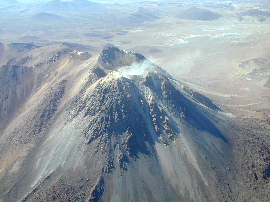
Irruputuncu is a volcano in the commune of Pica, Tamarugal Province, Tarapacá Region, Chile, as well as San Pedro de Quemes Municipality, Nor Lípez Province, Potosí Department, Bolivia. The mountain's summit is 5,163 m (16,939 ft) high and has two summit craters—the southernmost 200 m (660 ft)-wide one has active fumaroles. The volcano also features lava flows, block and ash flows and several lava domes. The volcano is part of the Andean Central Volcanic Zone (CVZ).
Wikipedia · CC BY-SA · Read full article →
Eruption history
2 recordedGlossaryRecord summary
- Confirmed eruptions
- 1
- Uncertain eruptions
- 1
- Span of confirmed record
- 1995 – 1995
- Largest confirmed eruption
- VEI 2 (1995)
- Confirmed eruptions since 1900
- 1
Detailed timeline
- 1995VEI 2Observed1995-09-01 – 1995-09-26
- 1989VEI ?Method not stated1989-12-16 – end unknown
Nearby volcanoes
External links
⚠ For reference only. Not for emergency response.