Chile · Maar
Cerro Tujle
Tujle, Cerro
- Type
- Maar
- Elevation
- 3550m
- Last eruption
- Unknown
- Type
- Maar
- Country
- Chile
- Region
- South America / Central Andean Volcanic Arc
- Elevation
- 3550m
- Coordinates
- -23.830, -67.950
- Last eruption
- Unknown
- Tectonic setting
- Subduction zone / Continental crust (> 25 km)
- Landform
- Minor
- Major rock type
- No data
Geological summary
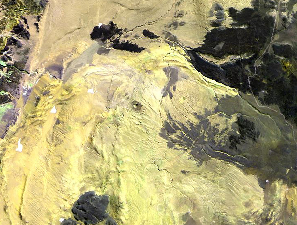
The Cerro Tujle maar (also known as Cerro Tucle or Cerro Tugle) in the Cordón de Tujle has a 60-m-deep crater (de Silva and Francis, 1991). The maar is located SE of the Salar de Atacama, N of Cerro Toloncha.
Eruption history
GlossaryDetailed timeline
No eruption records available.
Nearby volcanoes
External links
⚠ For reference only. Not for emergency response.