Chile · Caldera
Calabozos
- Type
- Caldera
- Elevation
- 3508m
- Last eruption
- Unknown
- Type
- Caldera
- Country
- Chile
- Region
- South America / Southern Andean Volcanic Arc
- Elevation
- 3508m
- Coordinates
- -35.558, -70.496
- Last eruption
- Unknown
- Tectonic setting
- Subduction zone / Continental crust (> 25 km)
- Landform
- Composite
- Major rock type
- Dacite
Geological summary
The composite late-Pleistocene Calabozos caldera (14 x 26 km) produced major rhyodacitic-to-dacitic ashflow sheets of ~200-500 km3 each, collectively referred to as the Loma Seca Tuff, at 800,000, 300,000, and 150,000 years ago.
Excerpt from the Global Volcanism Program, Smithsonian Institution · Read the full summary on GVP →
From Wikipedia
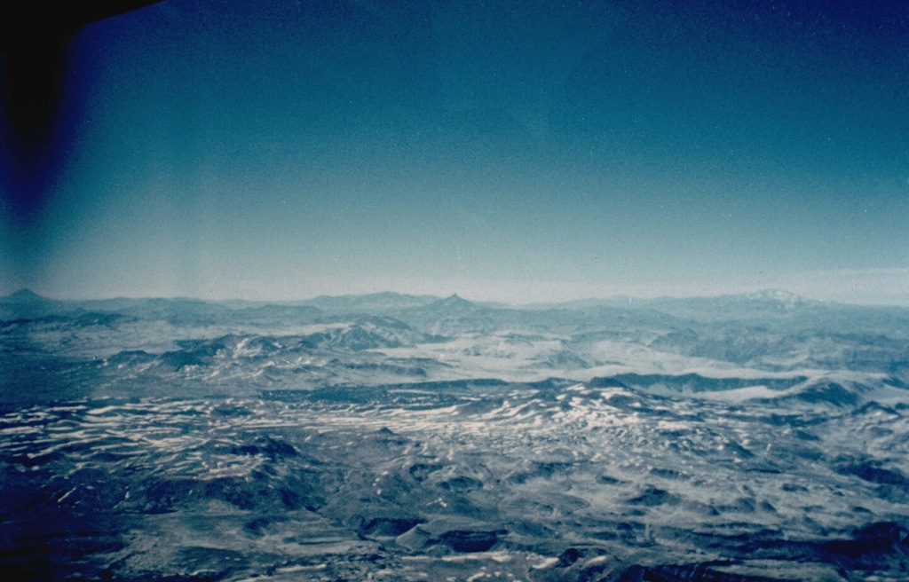
Calabozos is a Holocene caldera in central Chile's Maule Region. Part of the Chilean Andes' volcanic segment, it is considered a member of the Southern Volcanic Zone (SVZ), one of the three distinct volcanic belts of South America. This most active section of the Andes runs along central Chile's western edge, and includes more than 70 of Chile's stratovolcanoes and volcanic fields. Calabozos lies in an extremely remote area of poorly glaciated mountains.
Wikipedia · CC BY-SA · Read full article →
Eruption history
GlossaryDetailed timeline
No eruption records available.
Nearby volcanoes
External links
⚠ For reference only. Not for emergency response.