Iceland · Shield volcano
Þeistareykir
Theistareykir
- Type
- Shield volcano
- Elevation
- 563m
- Last eruption
- -900
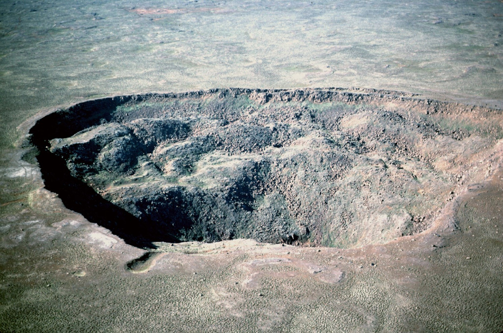
- Type
- Shield volcano
- Country
- Iceland
- Region
- Atlantic Ocean / Iceland Neovolcanic Rift Volcanic Province
- Elevation
- 563m
- Coordinates
- 65.883, -16.967
- Last eruption
- -900
- Tectonic setting
- Rift zone / Oceanic crust (< 15 km)
- Landform
- Shield
- Major rock type
- Basalt / Picro-basalt
Geological summary
The Holocene Theistareykir fissure system, including the basaltic Theistareykjarbunga shield volcano, extends from north of Myvatn lake to the coast of Iceland.
Excerpt from the Global Volcanism Program, Smithsonian Institution · Read the full summary on GVP →
Eruption history
3 recordedGlossaryRecord summary
- Confirmed eruptions
- 3
- Uncertain eruptions
- 0
- Span of confirmed record
- 9500 BCE – 900 BCE
- Largest confirmed eruption
- VEI 0 (900 BCE, the most recent of 3)
- Confirmed eruptions since 1900
- 0
Summary (VEI over time)
Click a bar to see individual eruptions · Use arrow keys to move between bars, Enter to open
Detailed timeline
- 900 BCE (±100 yrs)VEI 0Geological estimate900 BCE – end unknownStorihver (Theistareykjahraun)
- 6800 BCEVEI 0Geological estimate6800 BCE – end unknownBorgarhraun and other flows
- 9500 BCEVEI 0Geological estimate9500 BCE – end unknownTheistareykjabunga shield volcano
Nearby volcanoes
External links
- Not yet on Wikipedia (English). You can contribute on Wikidata.
- Smithsonian GVP source page
⚠ For reference only. Not for emergency response.