Eritrea · Estratovolcán
Dubbi
- Tipo
- Estratovolcán
- Altitud
- 1625 m
- Última erupción
- 1861
- Tipo
- Estratovolcán
- País
- Eritrea
- Región
- África Oriental / Afar Rift Volcanic Province
- Altitud
- 1625 m
- Coordenadas
- 13.579, 41.809
- Última erupción
- 1861
- Contexto tectónico
- Zona de rift / Corteza intermedia (15-25 km)
- Forma volcánica
- Compuesto
- Roca principal
- Basalto / Picrobasalto
Resumen geológico
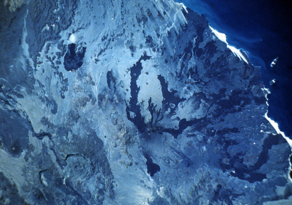
Dubbi, located east of the Erta Ale Range and south of the crystalline basement rocks of the Danakil Alps, is a large volcanic massif that rises above the western shore of the Red Sea. About 20 small cinder cones are located at the summit, and extensive basaltic lava fields to the north and NE, known as the Edd lava field, cover an area of 2700 km2 and reach the Red Sea coast. The two most-recent eruptive centers are fissure systems that extend NW-SE and NNE-SSW. The former produced lava flows that reached the Red Sea in 1400 CE. The second created 19 small craters at the summit in 1861. Ash fell more than 300 km from the volcano. Two villages were destroyed and more than 100 people were killed during Africa's largest eruption in historical time. Lava flows from the 1861 eruption traveled as far as 22 km and reached the coast.
Resumen de Wikipedia
El volcán Dubbi es un estratovolcán ubicado en la región del Debubawi Keyih Bahri en Eritrea. Su elevación máxima es de 1.625 m.
Wikipedia · CC BY-SA · Leer artículo completo →
Historial de erupciones
4 registradasGlosarioLínea de tiempo detallada
- 1900VEI ?Método no indicado1900-07-02 – fin desconocido
- 1863VEI 2Método no indicado1863-07-02 – fin desconocido
- 1861VEI 3Observado1861-05-08 – 1861-10-16
- 1400VEI 2Observado1400-07-15 – fin desconocido
Volcanes cercanos
Enlaces externos
⚠ Solo como referencia. No apto para respuesta ante emergencias.