Kenia · Volcán en escudo
Emuruangogolak
- Tipo
- Volcán en escudo
- Altitud
- 1285 m
- Última erupción
- 1910
- Tipo
- Volcán en escudo
- País
- Kenia
- Región
- África Oriental / Kenyan Rift Volcanic Province
- Altitud
- 1285 m
- Coordenadas
- 1.500, 36.330
- Última erupción
- 1910
- Contexto tectónico
- Zona de rift / Corteza continental (> 25 km)
- Forma volcánica
- Escudo
- Roca principal
- Traquita / Traquidacita
Resumen geológico
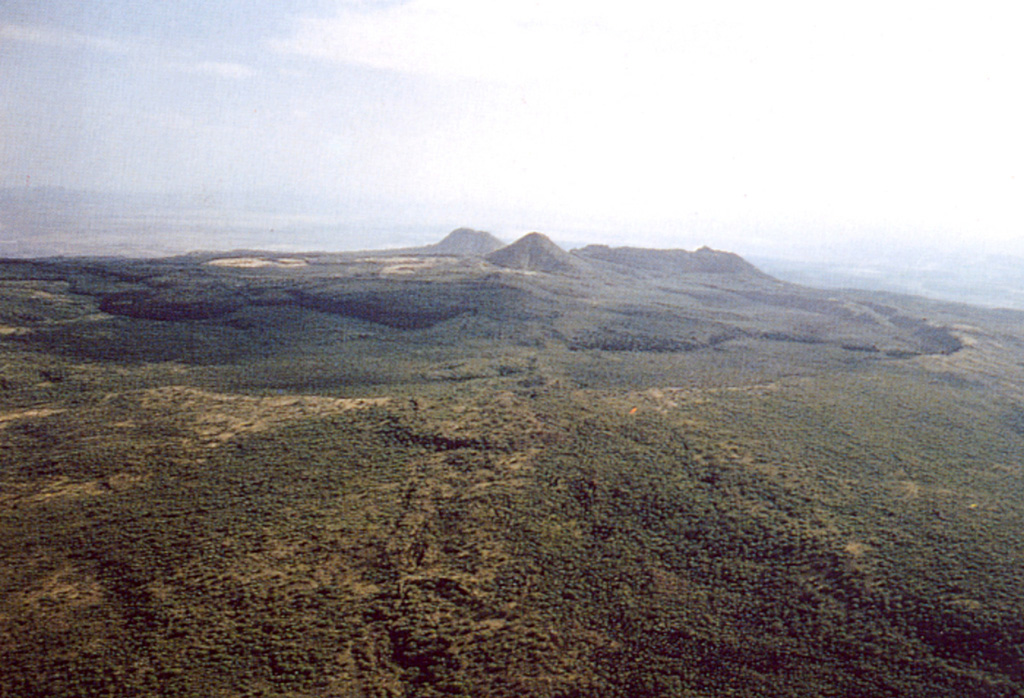
The broad Emuruangogolak shield volcano is situated at a narrow constriction in the Gregory Rift and almost completely straddles it. A 5 x 3.5 km summit caldera formed about 38,000 years ago. Since then trachytic and basaltic lava flows were erupted on the northern and southern flanks and within the caldera. A NNE-SSW-trending chain of lake-filled basaltic maars extends along the floor of the rift from the lower flanks of the volcano. Young lava flows were also erupted from vents along rift valley faults. Well-preserved cones erupted along rift-parallel faults cutting the volcano; the latest eruption produced a trachytic lava flow dated from secular magnetic variation measurements at about the beginning of the 20th century. Fumarolic activity and hot steaming ground occurs along NNE-trending fissures within the caldera and along the lower NW flanks.
Resumen de Wikipedia
Resumen breve — abre el artículo completo para más detalle.
El Emuruangogolak es un volcán del Rift Gregory.
Wikipedia · CC BY-SA · Leer artículo completo →
Historial de erupciones
8 registradasGlosarioLínea de tiempo detallada
- 1910 (±50 años)VEI 0Estimación geológica1910-07-02 – fin desconocidoSouth caldera rim
- 1700 (±100 años)VEI 0Estimación geológica1700 – fin desconocidoSouth caldera rim
- 1300 (±150 años)VEI 0Estimación geológica1300 – fin desconocidoNE flank
- 1230 (±150 años)VEI 0Estimación geológica1230 – fin desconocidoNE flank
- 1160 (±150 años)VEI 0Estimación geológica1160 – fin desconocidoNE flank
- 1120 (±150 años)VEI 0Estimación geológica1120 – fin desconocidoNorth flank
- 6550 a. C. (±1500 años)VEI ?Estimación geológica6550 a. C. – fin desconocidoNorth flank
- 8050 a. C. (±1000 años)VEI ?Estimación geológica8050 a. C. – fin desconocidoNorth flank
Volcanes cercanos
Enlaces externos
⚠ Solo como referencia. No apto para respuesta ante emergencias.