Camerún · Campo volcánico
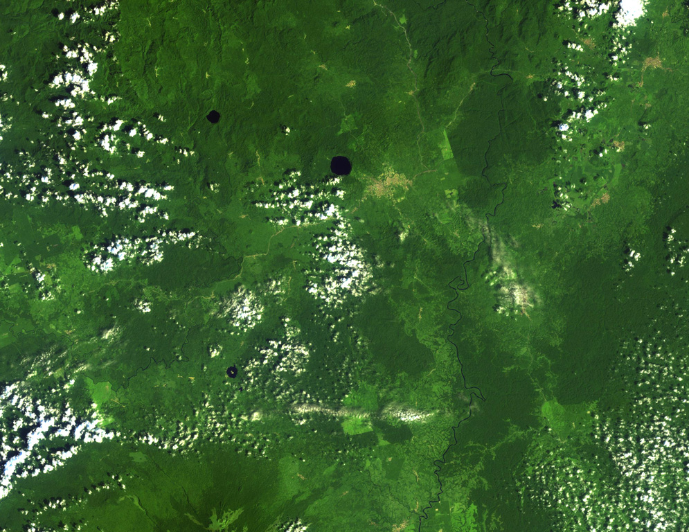
Tombel Graben
- Tipo
- Campo volcánico
- Altitud
- 500 m
- Última erupción
- Desconocido
- Tipo
- Campo volcánico
- País
- Camerún
- Región
- África del Norte / Western Africa Volcanic Province
- Altitud
- 500 m
- Coordenadas
- 4.758, 9.717
- Última erupción
- Desconocido
- Contexto tectónico
- Intraplaca / Corteza continental (> 25 km)
- Forma volcánica
- Grupo volcánico
- Roca principal
- Traquibasalto / Tefrita basanita
Resumen geológico
Original en inglésYoung cinder cones and maars are abundant in the low-lying Tombel Graben (also referred to as the Tombel Plain) between Mount Cameroon and Mount Manengouba (within 4°58'N, 9°51'E and 4°33'N, 9°35'E).
Extracto del Global Volcanism Program, Smithsonian Institution · Leer el resumen completo en el GVP →
Historial de erupciones
GlosarioLínea de tiempo detallada
No hay registros de erupciones disponibles.
Volcanes cercanos
Enlaces externos
- Todavía no está en Wikipedia (Español). Puede contribuir en Wikidata.
- Página original del Smithsonian GVP
⚠ Solo como referencia. No apto para respuesta ante emergencias.