Yemen · Campo volcánico
Harra of Arhab
Arhab, Harra of
- Tipo
- Campo volcánico
- Altitud
- 3100 m
- Última erupción
- 500
- Tipo
- Campo volcánico
- País
- Yemen
- Región
- Arabia y Asia Central / Southwest Arabia Volcanic Province
- Altitud
- 3100 m
- Coordenadas
- 15.602, 44.098
- Última erupción
- 500
- Contexto tectónico
- Intraplaca / Corteza continental (> 25 km)
- Forma volcánica
- Grupo volcánico
- Roca principal
- Traquibasalto / Tefrita basanita
Resumen geológico
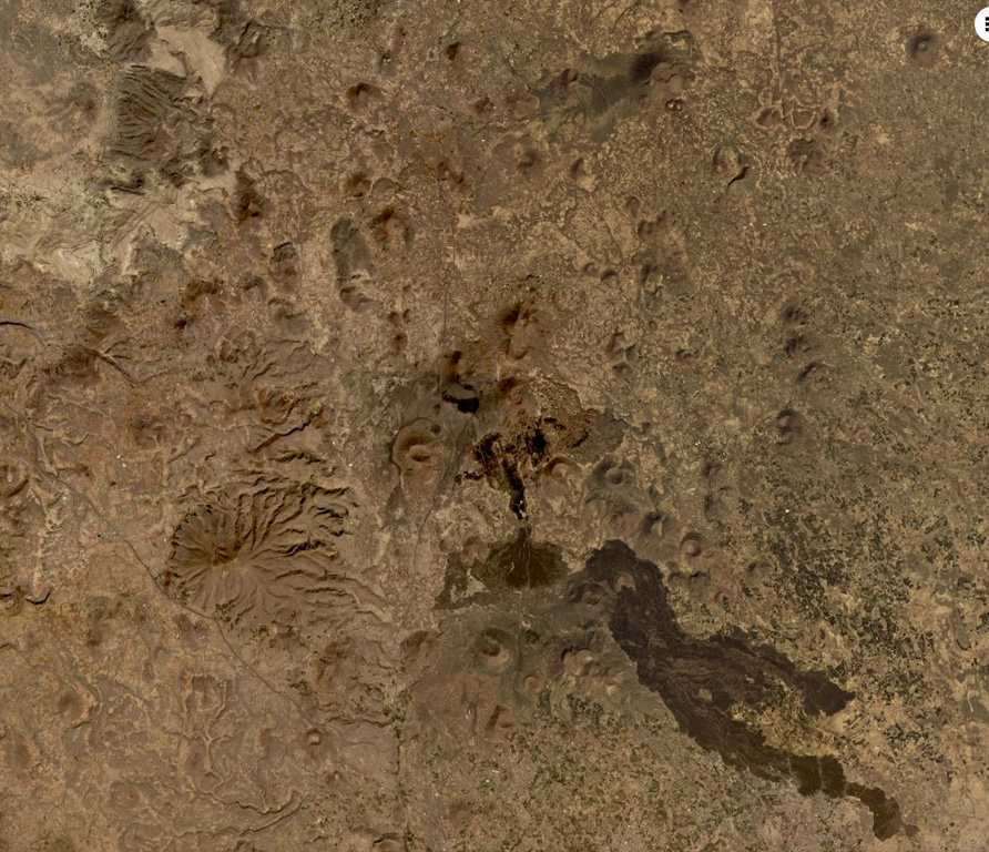
Original en inglésThe Quaternary Harra of Arhab in Yemen, north of the capital city of Sana'a, consists of a 1,500 km2 basaltic plateau capped by a few small stratovolcanoes and about 60 scoria cones, two of which have erupted in historical time.
Extracto del Global Volcanism Program, Smithsonian Institution · Leer el resumen completo en el GVP →
Resumen de Wikipedia
Resumen en inglésThe mainly Quaternary Harra of Arhab is the northernmost, historically active volcanic field in Yemen.
Wikipedia · CC BY-SA · Seguir leyendo en la Wikipedia en inglés →
Historial de erupciones
2 registradasGlosarioResumen del registro
- Erupciones confirmadas
- 2
- Erupciones inciertas
- 0
- Período del registro confirmado
- 200 – 500
- Mayor erupción confirmada
- VEI 2 (200)
- Erupciones confirmadas desde 1900
- 0
Resumen (VEI en el tiempo)
Haga clic en una barra para ver erupciones individuales · Usa las flechas para moverte entre barras y Enter para abrir
Línea de tiempo detallada
- 500 (±100 años)VEI 0Observado500 – fin desconocidoSouth flank of Kaulet Hattab
- 200VEI 2Estimación geológica200 – fin desconocidoEast flank of Jabal Zebib
Volcanes cercanos
Enlaces externos
⚠ Solo como referencia. No apto para respuesta ante emergencias.