Papúa Nueva Guinea · Estratovolcán
Hydrographers Range
- Tipo
- Estratovolcán
- Altitud
- 1915 m
- Última erupción
- Desconocido
- Tipo
- Estratovolcán
- País
- Papúa Nueva Guinea
- Región
- Pacífico Suroccidental / Trobriand Volcanic Province
- Altitud
- 1915 m
- Coordenadas
- -9.000, 148.370
- Última erupción
- Desconocido
- Contexto tectónico
- Zona de subducción / Corteza continental (> 25 km)
- Forma volcánica
- Compuesto
- Roca principal
- Andesita / Andesita basáltica
Resumen geológico
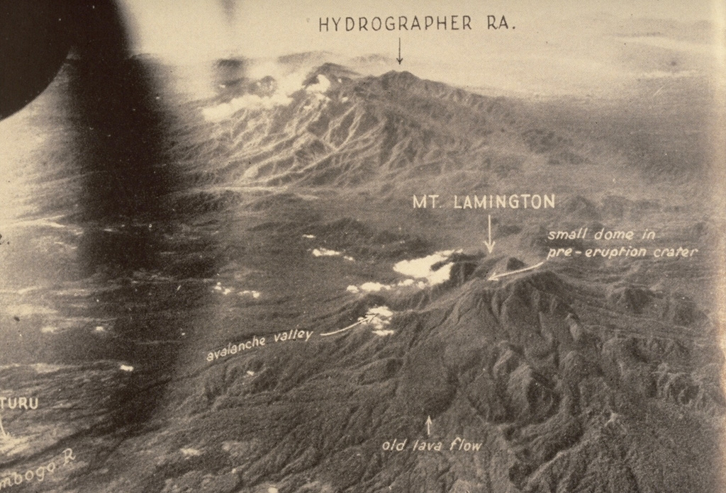
The Hydrographers Range is a forested, deeply dissected andesitic volcanic massif extending from the eastern margin of Mount Lamington north to the coast of eastern Papua New Guinea. Most activity took place during the Pleistocene, but perfectly preserved cinder cones and explosion craters on the southern side of the range suggested that some activity took place during the Holocene (Taylor, 1958). Other well-preserved cones are situated in the high country overlooking Songade village on the coast.
Resumen de Wikipedia
Resumen en inglésThe Hydrographers Range is a forested mountain range in the Oro Province of southeastern Papua New Guinea. It extends from the eastern margin of Mount Lamington in the west to the Pacific Ocean coast in the east.
Wikipedia · CC BY-SA · Leer artículo completo →
Historial de erupciones
GlosarioLínea de tiempo detallada
No hay registros de erupciones disponibles.
Volcanes cercanos
Enlaces externos
⚠ Solo como referencia. No apto para respuesta ante emergencias.