Papúa Nueva Guinea · Estratovolcán
Victory
- Tipo
- Estratovolcán
- Altitud
- 1832 m
- Última erupción
- 1935
- Tipo
- Estratovolcán
- País
- Papúa Nueva Guinea
- Región
- Pacífico Suroccidental / Trobriand Volcanic Province
- Altitud
- 1832 m
- Coordenadas
- -9.200, 149.072
- Última erupción
- 1935
- Contexto tectónico
- Zona de subducción / Corteza continental (> 25 km)
- Forma volcánica
- Compuesto
- Roca principal
- Andesita / Andesita basáltica
Resumen geológico
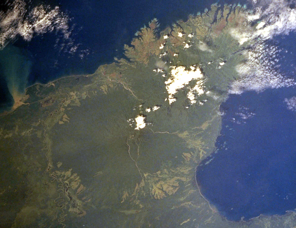
The dominantly andesitic Mount Victory stratovolcano, forming part of Cape Nelson on the NE coast of Papua New Guinea, is covered by rainforest. The deeply dissected Pleistocene Trafalgar volcano is immediately adjacent to the NE. The summit crater is breached to the SE, possibly due to landslides. Several lava domes are present in the summit area. Four small cones are located on the SW side, and two others occur on the NE flank. The only observed activity was a long-term late-19th to early 20th-century eruption that was frequently seen by passing ships. Pyroclastic flows have destroyed several villages and caused fatalities, and reached the coast.
Resumen de Wikipedia
Resumen en inglésMount Victory is an active volcano on the north east coast of Oro Province, Papua New Guinea with an approximate height of 1,884 metres (6,181 ft) to 1,891 metres (6,204 ft). It is bounded by the Ajova River.
Wikipedia · CC BY-SA · Leer artículo completo →
Historial de erupciones
2 registradasGlosarioLínea de tiempo detallada
- 1890VEI 2Observado1890-07-02 – 1935-07-02
- 1810 (±10 años)VEI 2Método no indicado1810-07-02 – fin desconocido
Volcanes cercanos
Enlaces externos
⚠ Solo como referencia. No apto para respuesta ante emergencias.