Indonesia · Estratovolcán
Pulosari
- Tipo
- Estratovolcán
- Altitud
- 1324 m
- Última erupción
- Desconocido
- Tipo
- Estratovolcán
- País
- Indonesia
- Región
- Sunda y Banda / Sunda Volcanic Arc
- Altitud
- 1324 m
- Coordenadas
- -6.343, 105.978
- Última erupción
- Desconocido
- Contexto tectónico
- Zona de subducción / Corteza continental (> 25 km)
- Forma volcánica
- Compuesto
- Roca principal
- Andesita / Andesita basáltica
Resumen geológico
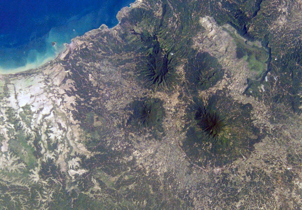
Original en inglésThe basaltic-to-andesitic Pulosari stratovolcano at the western end of Java lies south of the 15-km-wide Pleistocene Danau caldera.
Extracto del Global Volcanism Program, Smithsonian Institution · Leer el resumen completo en el GVP →
Resumen de Wikipedia
Resumen en inglésMount Pulosari is a stratovolcano in Pandeglang Regency, Banten, in West Java Indonesia.
Wikipedia · CC BY-SA · Seguir leyendo en la Wikipedia en inglés →
Historial de erupciones
GlosarioLínea de tiempo detallada
No hay registros de erupciones disponibles.
Volcanes cercanos
Enlaces externos
⚠ Solo como referencia. No apto para respuesta ante emergencias.