Rusia · Domo de lava
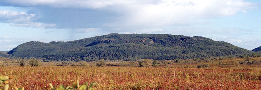
Shisheika
- Tipo
- Domo de lava
- Altitud
- 355 m
- Última erupción
- -2240
- Tipo
- Domo de lava
- País
- Rusia
- Región
- Pacífico Noroccidental / Central Kamchatka Volcanic Arc
- Altitud
- 355 m
- Coordenadas
- 57.153, 161.090
- Última erupción
- -2240
- Contexto tectónico
- Zona de subducción / Corteza continental (> 25 km)
- Forma volcánica
- Menor (basáltico)
- Roca principal
- Andesita / Andesita basáltica
Resumen geológico
The andesitic Shisheika lava dome lies far to the west of the crest of the Sredinny Range, near the mouth of the Shishei River. The dome and associated lava flows were erupted about 4,200 years ago during one of several Holocene eruptions on the lower flanks of the Sredinny Range.
Historial de erupciones
1 registradasGlosarioResumen (VEI en el tiempo)
Haga clic en una barra para ver erupciones individuales · Usa las flechas para moverte entre barras y Enter para abrir
Línea de tiempo detallada
- 2240 a. C.VEI ?Estimación geológica2240 a. C. – fin desconocido
Volcanes cercanos
Enlaces externos
- Todavía no está en Wikipedia (Español). Puede contribuir en Wikidata.
- Página original del Smithsonian GVP
⚠ Solo como referencia. No apto para respuesta ante emergencias.