Rusia · Campo volcánico
Sedankinsky
Sedanka Lava Field
- Tipo
- Campo volcánico
- Altitud
- 1399 m
- Última erupción
- -7050
- Tipo
- Campo volcánico
- País
- Rusia
- Región
- Pacífico Noroccidental / Central Kamchatka Volcanic Arc
- Altitud
- 1399 m
- Coordenadas
- 57.317, 160.067
- Última erupción
- -7050
- Contexto tectónico
- Zona de subducción / Corteza continental (> 25 km)
- Forma volcánica
- Grupo volcánico
- Roca principal
- Basalto / Picrobasalto
Resumen geológico
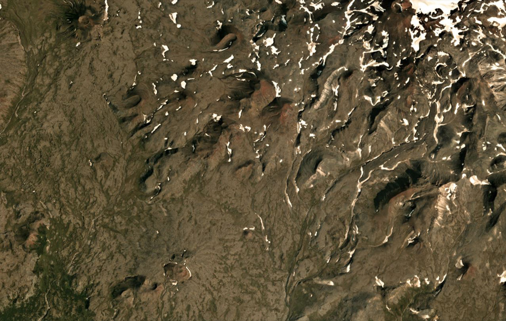
The Sedanka lava field (Sedanka Dol) is located immediately west of the Sredinny Range axis and is formed by dominantly mafic lavas from small strato- and shield-like volcanoes, along with more than 100 cinder and lava cones of the late Pleistocene-Holocene age. For this compilation the volcanic field area is considered to be up to 10 km wide and stretching about 25 km from south of Gorny Institute volcano towards the NNW between Tuzovsky volcano to the SW and Titila to the NE. Other workers (eg. Nekrylov et al., 2015) define the field to include the eight large edifices from Terpuk on the SW to Shishel on the NE.
Historial de erupciones
1 registradasGlosarioResumen (VEI en el tiempo)
Haga clic en una barra para ver erupciones individuales · Usa las flechas para moverte entre barras y Enter para abrir
Línea de tiempo detallada
- 7050 a. C. (±1000 años)VEI ?Estimación geológica7050 a. C. – fin desconocido
Volcanes cercanos
Enlaces externos
- Todavía no está en Wikipedia (Español). Puede contribuir en Wikidata.
- Página original del Smithsonian GVP
⚠ Solo como referencia. No apto para respuesta ante emergencias.