Formas submarinas · Fisura volcánica
CoAxial Segment
- Tipo
- Fisura volcánica
- Altitud
- 2400 m (submarino)
- Última erupción
- 1993
- Tipo
- Fisura volcánica
- País
- Formas submarinas
- Región
- Pacífico Oriental / Northeast Pacific Rifts Volcanic Province
- Altitud
- 2400 m (submarino)
- Coordenadas
- 46.520, -129.580
- Última erupción
- 1993
- Contexto tectónico
- Zona de rift / Corteza oceánica (< 15 km)
- Forma volcánica
- Grupo volcánico
- Roca principal
- Basalto / Picrobasalto
Resumen geológico
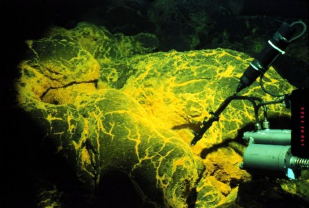
The CoAxial segment of the Juan de Fuca Ridge is about 435 km W of the Oregon coast, NE of Axial volcano. A submarine eruption along the CoAxial segment that produced thermal plumes and a new lava flow was detected by acoustic hydrophones in June 1993, just days after installation of the hydrophone system. This was the first deep-sea volcanic eruption detected as it was happening. The location of the eruption was at a depth of about 2,400 m, about 37 km NE of Axial volcano. Bathymetric surveys indicated that one or more additional sea-floor lava extrusions took place immediately east of the 1993 lava flow sometime between 1981-82 and 1991.
Historial de erupciones
2 registradasGlosarioResumen (VEI en el tiempo)
Haga clic en una barra para ver erupciones individuales · Usa las flechas para moverte entre barras y Enter para abrir
Línea de tiempo detallada
- 1993VEI 0Observado1993-06-26 – 1993-07-04N end CoAxial segment, Juan de Fuca Ridge
- 1986 (±5 años)VEI 0Observado1986-07-02 – fin desconocidoCoAxial segment, Juan de Fuca Ridge
Volcanes cercanos
Enlaces externos
- Todavía no está en Wikipedia (Español). Puede contribuir en Wikidata.
- Página original del Smithsonian GVP
⚠ Solo como referencia. No apto para respuesta ante emergencias.