Estados Unidos · Fisura volcánica
North Gorda Ridge Segment
- Tipo
- Fisura volcánica
- Altitud
- 3000 m (submarino)
- Última erupción
- 1996
- Tipo
- Fisura volcánica
- País
- Estados Unidos
- Región
- Pacífico Oriental / Northeast Pacific Rifts Volcanic Province
- Altitud
- 3000 m (submarino)
- Coordenadas
- 42.670, -126.780
- Última erupción
- 1996
- Contexto tectónico
- Zona de rift / Corteza oceánica (< 15 km)
- Forma volcánica
- Grupo volcánico
- Roca principal
- Basalto / Picrobasalto
Resumen geológico
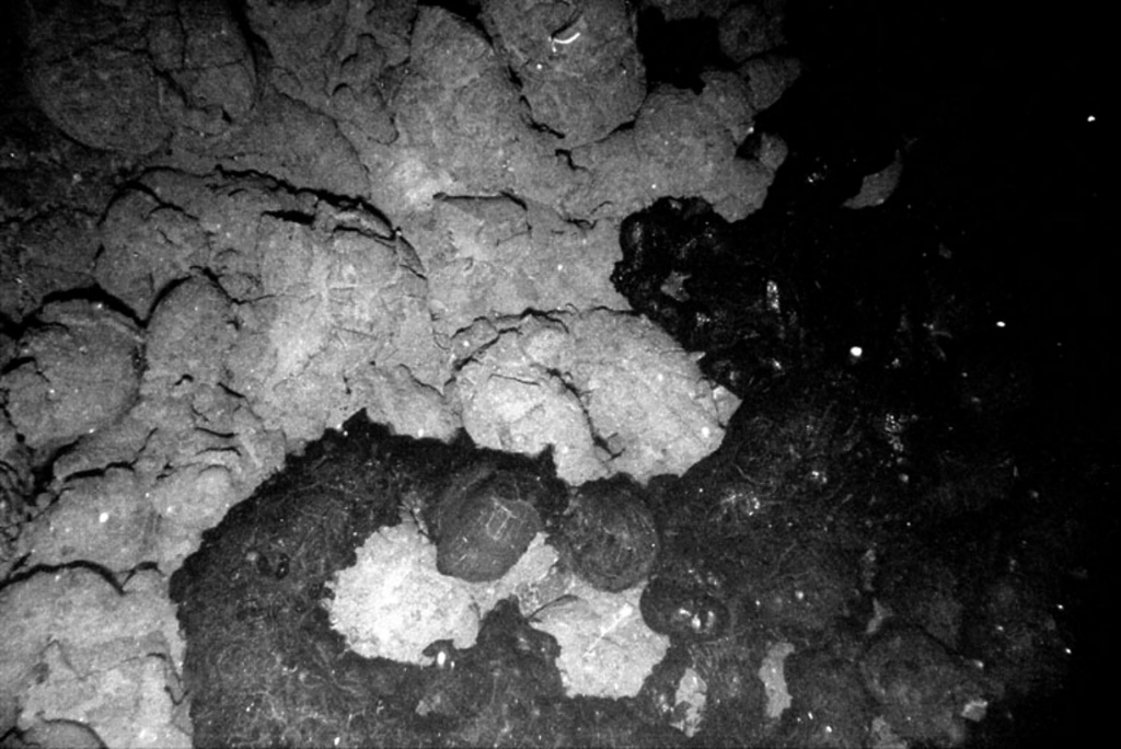
The northernmost of five segments of the Gorda Ridge lies immediately south of the Blanco Transform Fault that offsets the Gorda and Juan de Fuca oceanic spreading ridges. The 65-km-long segment is located about 200 km W of the southern Oregon coast and has deep 5- 10-km-wide valleys at either ends with a shallower narrow axial valley at the center. This morphology, which in plan view resembles an hourglass, is typical of magmatically active spreading segments. A submarine lava flow was erupted in late February and early March 1996, near the center of the segment. The eruption was initially detected through acoustic T-waves from a seismic swarm and the emission of large thermal plumes. In April submarine cameras revealed new lava flows about 100-200 m wide along a fissure that was at least 3.5 km long. A seismic swarm of uncertain origin also occurred at this location in January 1998.
Historial de erupciones
3 registradasGlosarioLínea de tiempo detallada
- 1996VEI 0Observado1996-02-28 – 1996-03-15Near center of North Gorda Ridge segment
- 3020 a. C.VEI 0Estimación geológica3020 a. C. – fin desconocido
- 4840 a. C.VEI 0Estimación geológica4840 a. C. – fin desconocido
Volcanes cercanos
Enlaces externos
- Todavía no está en Wikipedia (Español). Puede contribuir en Wikidata.
- Página original del Smithsonian GVP
⚠ Solo como referencia. No apto para respuesta ante emergencias.