Formas submarinas · Fisura volcánica
Southern EPR-Segment I
Southern EPR at 18.5°S (Segment I)
- Tipo
- Fisura volcánica
- Altitud
- 2600 m (submarino)
- Última erupción
- 1915
- Tipo
- Fisura volcánica
- País
- Formas submarinas
- Región
- Pacífico Sur / Southern East Pacific Rise Volcanic Province
- Altitud
- 2600 m (submarino)
- Coordenadas
- -18.530, -113.420
- Última erupción
- 1915
- Contexto tectónico
- Zona de rift / Corteza oceánica (< 15 km)
- Forma volcánica
- Grupo volcánico
- Roca principal
- Basalto / Picrobasalto
Resumen geológico
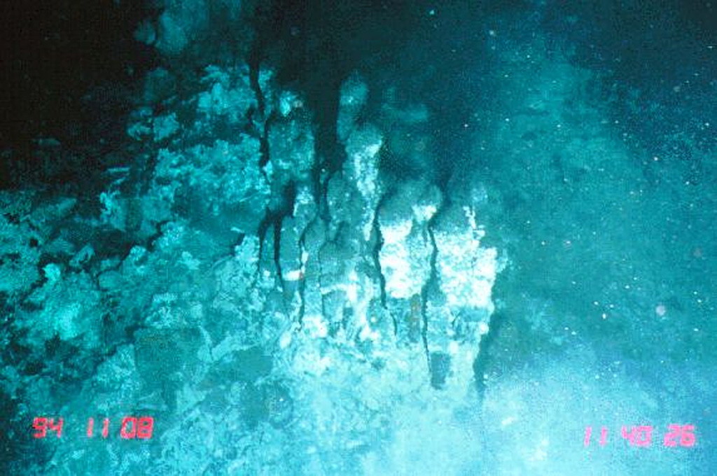
The narrow axial crest of Segment I of the Southern East Pacific Rise in some places is less than 50 m wide. An axial dome is located along the southern part of the segment. The largest lava flow field in this segment is the Animal Farm flow, named after a thriving low-temperature hydrothermal site discovered during a submersible expedition in 1993. The Animal Farm lava flow was dated by magnetic paleointensity measurements at about 1880-1950 CE, and older flows were dated by similar techniques to the 17th and 19th centuries.
Historial de erupciones
3 registradasGlosarioResumen (VEI en el tiempo)
Haga clic en una barra para ver erupciones individuales · Usa las flechas para moverte entre barras y Enter para abrir
Línea de tiempo detallada
- 1915 (±40 años)VEI 0Estimación geológica1915-07-02 – fin desconocido
- 1860VEI 0Estimación geológica1860-07-02 – fin desconocido
- 1620VEI 0Estimación geológica1620 – fin desconocido
Volcanes cercanos
- Southern EPR-Segment JFisura volcánica · a 40 km
- Southern EPR-Segment KFisura volcánica · a 124 km
- Isla de PascuaVolcán en escudo · a 1041 km
- Volcán submarino de la Dorsal del Pacífico Oriental a 8° SurFisura volcánica · a 1285 km
- Adams SeamountDomo de lava · a 1801 km
- Punto caliente Mc DonaldVolcán en escudo · a 2958 km
Enlaces externos
- Todavía no está en Wikipedia (Español). Puede contribuir en Wikidata.
- Página original del Smithsonian GVP
⚠ Solo como referencia. No apto para respuesta ante emergencias.