Argentina · Campo volcánico
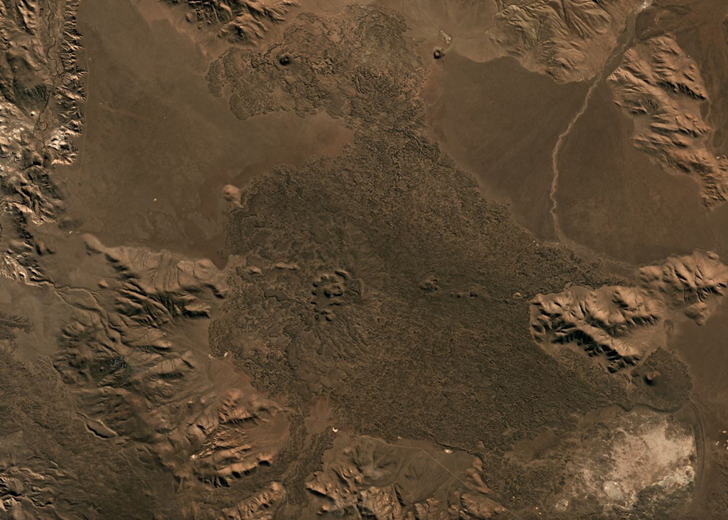
Crater Basalt Volcanic Field
- Tipo
- Campo volcánico
- Altitud
- 1344 m
- Última erupción
- Desconocido
- Tipo
- Campo volcánico
- País
- Argentina
- Región
- América del Sur / Southern Andean Volcanic Arc
- Altitud
- 1344 m
- Coordenadas
- -42.018, -70.194
- Última erupción
- Desconocido
- Contexto tectónico
- Intraplaca / Corteza continental (> 25 km)
- Forma volcánica
- Grupo volcánico
- Roca principal
- Traquibasalto / Tefrita basanita
Resumen geológico
Original en inglésThe Crater Basalt volcanic field in the northern Patagonia region of Argentina covers an area of about 700 km2.
Extracto del Global Volcanism Program, Smithsonian Institution · Leer el resumen completo en el GVP →
Historial de erupciones
GlosarioLínea de tiempo detallada
No hay registros de erupciones disponibles.
Volcanes cercanos
Enlaces externos
- Todavía no está en Wikipedia (Español). Puede contribuir en Wikidata.
- Página original del Smithsonian GVP
⚠ Solo como referencia. No apto para respuesta ante emergencias.