Etiopia · Medan gunung api
Bilate River Field
- Tipe
- Medan gunung api
- Ketinggian
- 1700 m
- Letusan terakhir
- Tidak diketahui
- Tipe
- Medan gunung api
- Negara
- Etiopia
- Wilayah
- Afrika Timur / Main Ethiopian Rift Volcanic Province
- Ketinggian
- 1700 m
- Koordinat
- 7.070, 38.100
- Letusan terakhir
- Tidak diketahui
- Kondisi tektonik
- Intralempeng / Kerak benua (> 25 km)
- Bentuk lahan
- Gugusan gunung api
- Batuan utama
- Tidak ada data
Ringkasan geologi
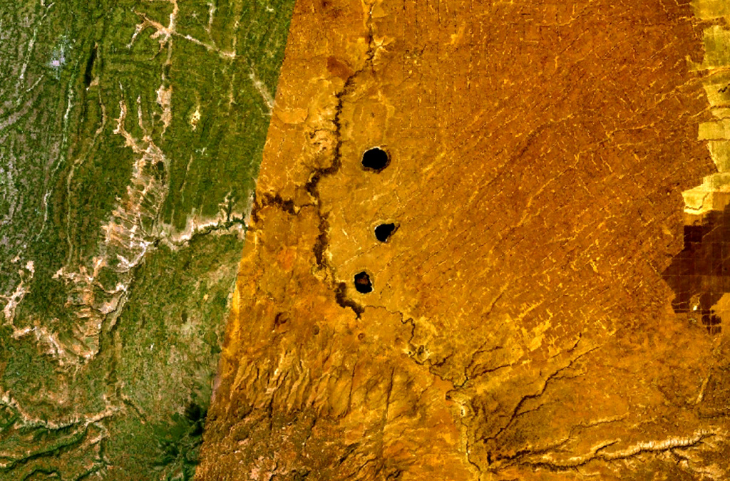
The Bilate River basin west of Lake Awasa contains a group of lake-filled maars and tuff rings of Pleistocene and probable Holocene age (WoldeGabriel 1987, pers. comm.). Active hot springs and fumaroles are located in this area.
Riwayat letusan
GlosariumGaris waktu rinci
Tidak ada catatan letusan.
Gunung api terdekat
Tautan eksternal
- Belum ada di Wikipedia (Bahasa Indonesia). Anda dapat berkontribusi di Wikidata.
- Halaman asli Smithsonian GVP
⚠ Untuk referensi saja. Bukan untuk tanggap darurat.