Kamerun · Medan gunung api
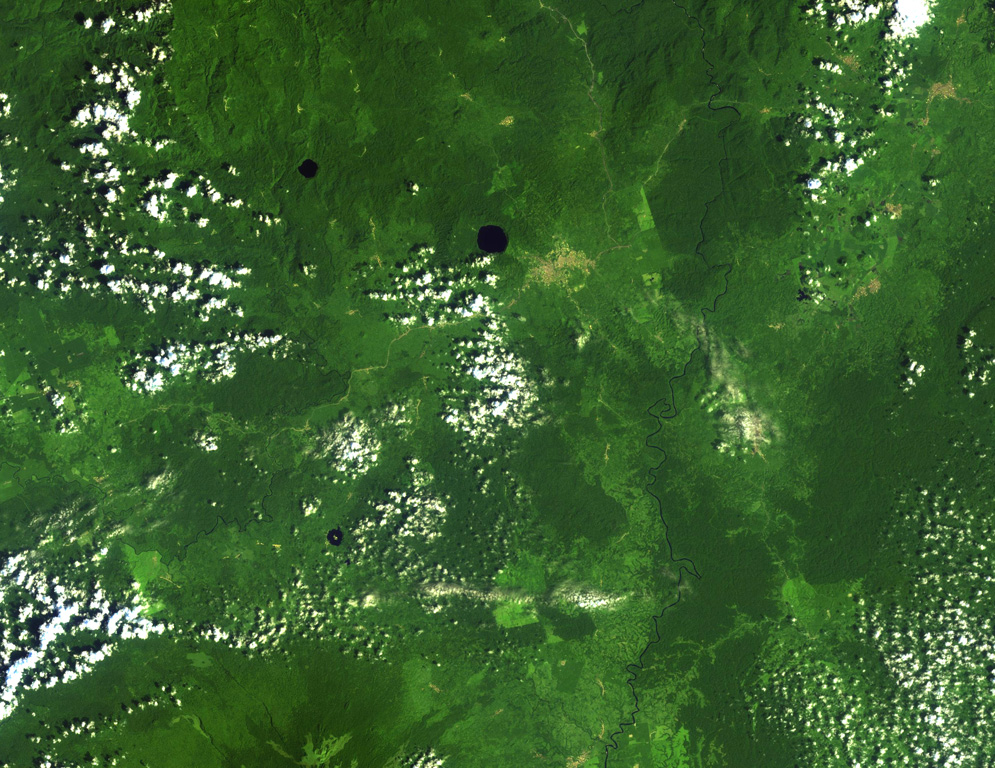
Tombel Graben
- Tipe
- Medan gunung api
- Ketinggian
- 500 m
- Letusan terakhir
- Tidak diketahui
- Tipe
- Medan gunung api
- Negara
- Kamerun
- Wilayah
- Afrika Utara / Western Africa Volcanic Province
- Ketinggian
- 500 m
- Koordinat
- 4.758, 9.717
- Letusan terakhir
- Tidak diketahui
- Kondisi tektonik
- Intralempeng / Kerak benua (> 25 km)
- Bentuk lahan
- Gugusan gunung api
- Batuan utama
- Trakibasal / Tefrit basanit
Ringkasan geologi
Teks asli bahasa InggrisYoung cinder cones and maars are abundant in the low-lying Tombel Graben (also referred to as the Tombel Plain) between Mount Cameroon and Mount Manengouba (within 4°58'N, 9°51'E and 4°33'N, 9°35'E).
Kutipan dari Global Volcanism Program, Smithsonian Institution · Baca ringkasan lengkap di GVP →
Riwayat letusan
GlosariumGaris waktu rinci
Tidak ada catatan letusan.
Gunung api terdekat
Tautan eksternal
- Belum ada di Wikipedia (Bahasa Indonesia). Anda dapat berkontribusi di Wikidata.
- Halaman asli Smithsonian GVP
⚠ Untuk referensi saja. Bukan untuk tanggap darurat.