Yaman · Medan gunung api
Haylan, Jabal
- Tipe
- Medan gunung api
- Ketinggian
- 1550 m
- Letusan terakhir
- -1200
- Tipe
- Medan gunung api
- Negara
- Yaman
- Wilayah
- Arab & Asia Tengah / Southwest Arabia Volcanic Province
- Ketinggian
- 1550 m
- Koordinat
- 15.400, 45.100
- Letusan terakhir
- -1200
- Kondisi tektonik
- Intralempeng / Kerak benua (> 25 km)
- Bentuk lahan
- Gugusan gunung api
- Batuan utama
- Basal / Pikrobasal
Ringkasan geologi
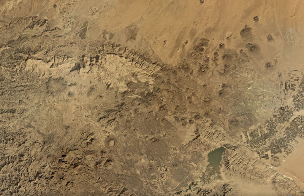
The Jabal Haylan area contains a 75-km-long chain of tuff cones and associated olivine basaltic lava flows in eastern Yemen. The chain crosses a NW-SE-trending fault extending between the highlands and desert lowlands to the east. One of the lava flows covers alluvial terraces that accumulated behind man-made dams from about 800-1200 BCE (Catalog of Active Volcanoes of the World).
Riwayat letusan
1 tercatatGlosariumRingkasan (VEI dari waktu ke waktu)
Klik pada bar untuk melihat letusan individu · Gunakan tombol panah untuk berpindah batang, Enter untuk membuka
Garis waktu rinci
- 1200 SMVEI 0Perkiraan geologi1200 SM – akhir tidak diketahuiWest of Sirwan
Gunung api terdekat
Tautan eksternal
- Belum ada di Wikipedia (Bahasa Indonesia). Anda dapat berkontribusi di Wikidata.
- Halaman asli Smithsonian GVP
⚠ Untuk referensi saja. Bukan untuk tanggap darurat.