Tonga · Gunung api kompleks
Curacoa volcano
Curacoa
- Tipe
- Gunung api kompleks
- Ketinggian
- 33 m (bawah laut)
- Letusan terakhir
- 1979
- Tipe
- Gunung api kompleks
- Negara
- Tonga
- Wilayah
- Tonga & Kermadec / Tofua Volcanic Arc
- Ketinggian
- 33 m (bawah laut)
- Koordinat
- -15.620, -173.670
- Letusan terakhir
- 1979
- Kondisi tektonik
- Zona subduksi / Kerak samudra (< 15 km)
- Bentuk lahan
- Komposit
- Batuan utama
- Dasit
Ringkasan geologi
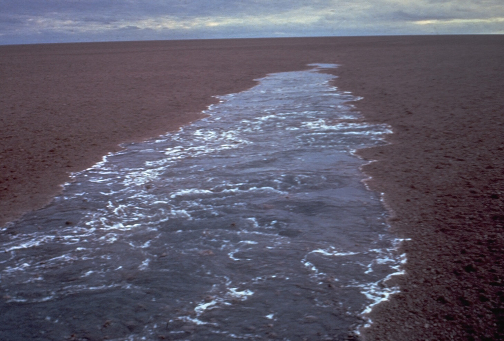
A submarine volcano south of Curacoa Reef at the northern end of the Tofua volcanic arc was first observed in eruption in 1973. Explosive eruptions, which produced large rafts of dacitic pumice, covering an area of more than 100 km2, were observed from the island of Tafahi, 27 km SSW. The eruption site was located about 6.5 km SW of Curacoa Reef. Multiple submarine vents are apparently located in this area; a second eruption was reported in 1979 from a location 13 km N of Tafahi.
Riwayat letusan
2 tercatatGlosariumRingkasan (VEI dari waktu ke waktu)
Klik pada bar untuk melihat letusan individu · Gunakan tombol panah untuk berpindah batang, Enter untuk membuka
Garis waktu rinci
- 1979VEI 1Teramati1979-05-14 – akhir tidak diketahui13 km north of Tafahi
- 1973VEI 3Teramati1973-07-11 – 1973-07-166.4 km SW of Curacoa Reef
Gunung api terdekat
Tautan eksternal
⚠ Untuk referensi saja. Bukan untuk tanggap darurat.