Indonesia · Gunung api kompleks
Gunung Ambang
Ambang
- Tipe
- Gunung api kompleks
- Ketinggian
- 1795 m
- Letusan terakhir
- 2005
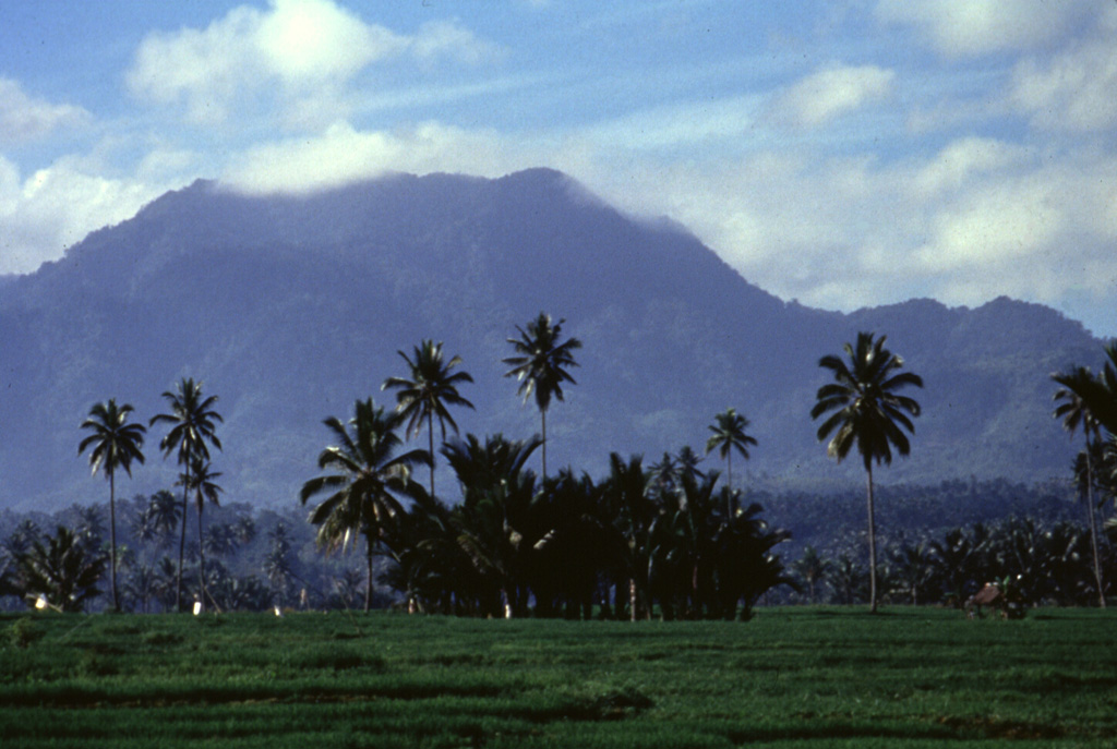
- Tipe
- Gunung api kompleks
- Negara
- Indonesia
- Wilayah
- Pasifik Barat / Sangihe Volcanic Arc
- Ketinggian
- 1795 m
- Koordinat
- 0.750, 124.420
- Letusan terakhir
- 2005
- Kondisi tektonik
- Zona subduksi / Kerak benua (> 25 km)
- Bentuk lahan
- Komposit
- Batuan utama
- Andesit / Andesit basaltik
Ringkasan geologi
The compound Ambang volcano is the westernmost of the active volcanoes on the northern arm of Sulawesi. The stratovolcano rises 750 m above lake Danau. Several craters up to 400 m in diameter and five solfatara fields are located at the summit.
Ringkasan Wikipedia
Ringkasan InggrisAmbang is a complex of volcanoes at the western end of the northern arm of Sulawesi island, Indonesia. There are two lakes, lake Mo'oat and lake Tondok, at an elevation of 750 m. The larger of the two lakes is Mo'oat. Both of them are side by side. The volcano contains several craters up to 400 m in diameter and five solfatara fields. The only historical account of its eruption occurred sometime in the 1850s.
Wikipedia · CC BY-SA · Baca artikel lengkap →
Riwayat letusan
2 tercatatGlosariumGaris waktu rinci
- 2005VEI 1Teramati2005-12-22 – akhir tidak diketahui
- 1845 (±5 tahun)VEI ?Teramati1845-07-02 – akhir tidak diketahui
Gunung api terdekat
Tautan eksternal
⚠ Untuk referensi saja. Bukan untuk tanggap darurat.