Indonesia · Stratovolkan
Gunung Hiri
Hiri
- Tipe
- Stratovolkan
- Ketinggian
- 687 m
- Letusan terakhir
- Tidak diketahui
- Tipe
- Stratovolkan
- Negara
- Indonesia
- Wilayah
- Pasifik Barat / Halmahera Volcanic Arc
- Ketinggian
- 687 m
- Koordinat
- 0.897, 127.317
- Letusan terakhir
- Tidak diketahui
- Kondisi tektonik
- Zona subduksi / Kerak samudra (< 15 km)
- Bentuk lahan
- Komposit
- Batuan utama
- Basal / Pikrobasal
Ringkasan geologi
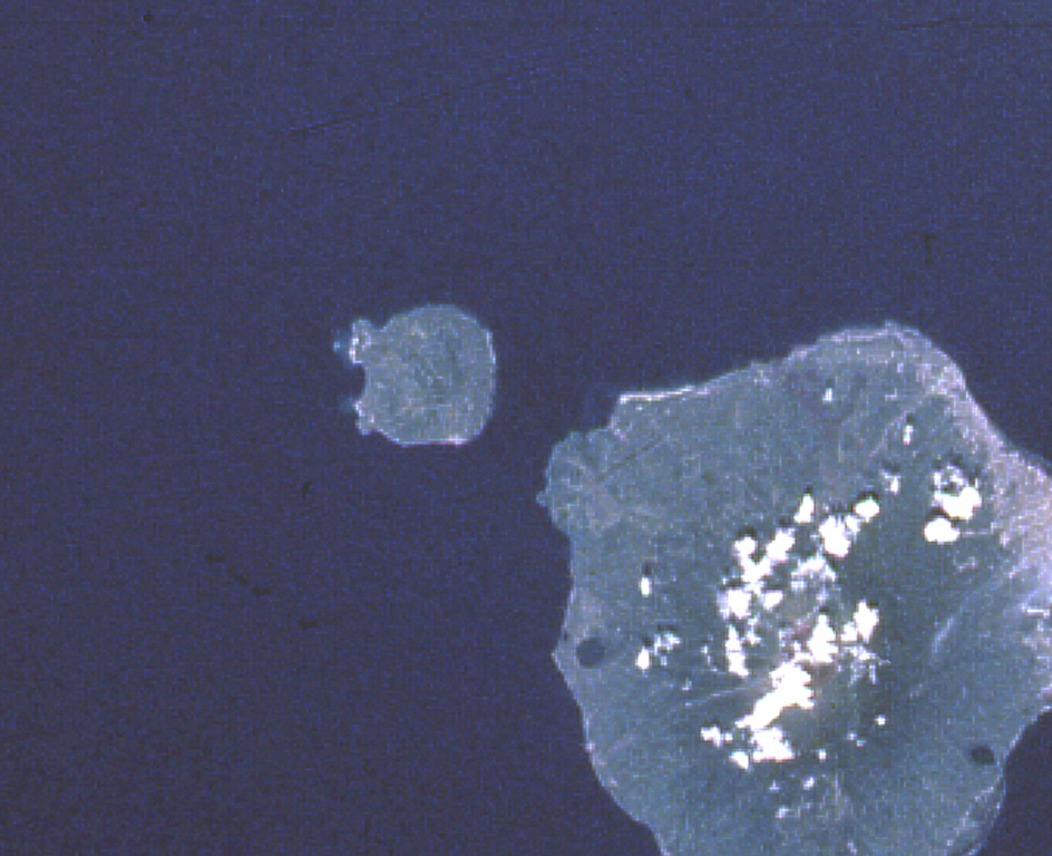
Hiri is a 3-km-wide forested island immediately north of Gamalama on Ternate Island, and is the northernmost of a chain of volcanic islands off the western coast of Halmahera. Two conical volcanic edifices are present within a larger caldera open to the W. Apandi and Sudana (1980) mapped it as Holocene in age, but no eruptions have been dated or reported.
Ringkasan Wikipedia
Ringkasan InggrisHiri is a small, 3-kilometre-wide forested island immediately north of the island of Ternate, in the Maluku Islands of Indonesia. It is located at the northernmost part of a chain of volcanic islands off the western coast of Halmahera. It is a conical stratovolcano which rises to 630 m (2,067 ft). The island covers 9.72 km2 and had a population of 2,880 in mid 2023; it is administered as a district (kecamatan) of the City of Ternate. Its dominant neighbour to the south is the more active volcano of Mount Gamalama, on Ternate island.
Wikipedia · CC BY-SA · Baca artikel lengkap →
Riwayat letusan
GlosariumGaris waktu rinci
Tidak ada catatan letusan.
Gunung api terdekat
Tautan eksternal
⚠ Untuk referensi saja. Bukan untuk tanggap darurat.