Rusia · Kerucut piroklastik
Kostakan
- Tipe
- Kerucut piroklastik
- Ketinggian
- 1150 m
- Letusan terakhir
- 1350
- Tipe
- Kerucut piroklastik
- Negara
- Rusia
- Wilayah
- Pasifik Barat Laut / Eastern Kamchatka Volcanic Arc
- Ketinggian
- 1150 m
- Koordinat
- 53.833, 158.052
- Letusan terakhir
- 1350
- Kondisi tektonik
- Zona subduksi / Kerak benua (> 25 km)
- Bentuk lahan
- Kecil (basaltik)
- Batuan utama
- Basal / Pikrobasal
Ringkasan geologi
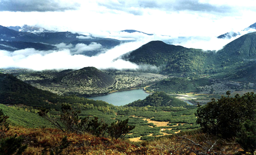
A group of basaltic cinder cones lies south of Bakening volcano, west of the Srednaya Avacha (Middle Avacha) river valley. They are part of a broad zone of regional late Pleistocene to Holocene basaltic volcanism west of the Eastern volcanic zone of Kamchatka that extends from the Kostakan Lake area to the south. Several of the cinder cones are breached by lava flows, some of which extend into the Srednaya Avacha valley. The highest-elevation vent, Zmeya crater, was constructed within a landslide scarp. An unnamed maar is located about 2 km S of Kostakan Lake. Eruptions have occurred during two time periods, between about 11,000 to 7,000 years ago and between about 1,200 and 600 years ago.
Riwayat letusan
6 tercatatGlosariumGaris waktu rinci
- 1350VEI 1Perkiraan geologi1350 – akhir tidak diketahuiGlavny
- 1200 (±50 tahun)VEI 2Perkiraan geologi1200 – akhir tidak diketahuiGlavny
- 1000 (±50 tahun)VEI 3Perkiraan geologi1000 – akhir tidak diketahuiSerpovidny
- 800 (±50 tahun)VEI 3Perkiraan geologi800 – akhir tidak diketahuiMaar S of Lake Kostakan, Krasny cone
- 6550 SM (±500 tahun)VEI 3Perkiraan geologi6550 SM – akhir tidak diketahuiOchkovy
- 8050 SM (±1000 tahun)VEI 3Perkiraan geologi8050 SM – akhir tidak diketahuiDomashnii
Gunung api terdekat
Tautan eksternal
⚠ Untuk referensi saja. Bukan untuk tanggap darurat.