Tiongkok · Medan gunung api
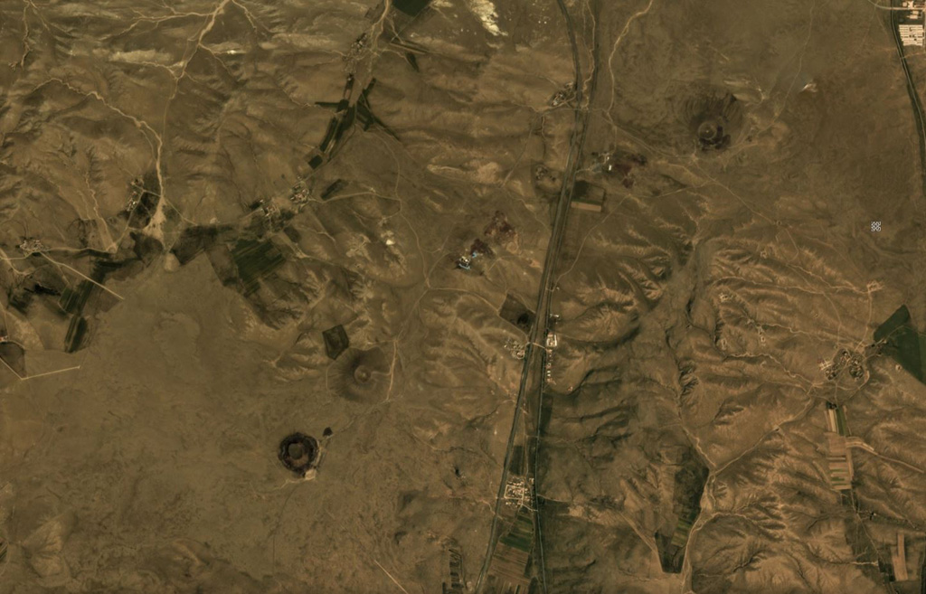
Honggeertu volcanic field
Honggeertu
- Tipe
- Medan gunung api
- Ketinggian
- 1605 m
- Letusan terakhir
- Tidak diketahui
- Tipe
- Medan gunung api
- Negara
- Tiongkok
- Wilayah
- Asia Timur / Central East Asia Volcanic Province
- Ketinggian
- 1605 m
- Koordinat
- 41.590, 113.111
- Letusan terakhir
- Tidak diketahui
- Kondisi tektonik
- Intralempeng / Kerak benua (> 25 km)
- Bentuk lahan
- Gugusan gunung api
- Batuan utama
- Basal / Pikrobasal
Ringkasan geologi
The Honggeertu volcanic field is located in Nei Mongol Province, NW of Beijing. The basaltic volcanic field consists of a group of six cinder cones extending along an arc for about 10 km that were considered to be of Holocene age by IAVCEI (1973). Liu (1998, p.c.), however, considered the existence of Holocene volcanism at this location to be uncertain.
Riwayat letusan
GlosariumGaris waktu rinci
Tidak ada catatan letusan.
Gunung api terdekat
Tautan eksternal
⚠ Untuk referensi saja. Bukan untuk tanggap darurat.