Meksiko · Medan gunung api
Zitácuaro-Valle de Bravo
Zitacuaro-Valle de Bravo
- Tipe
- Medan gunung api
- Ketinggian
- 3500 m
- Letusan terakhir
- -3050
- Tipe
- Medan gunung api
- Negara
- Meksiko
- Wilayah
- Amerika Tengah & Karibia / Trans-Mexican Volcanic Arc
- Ketinggian
- 3500 m
- Koordinat
- 19.400, -100.250
- Letusan terakhir
- -3050
- Kondisi tektonik
- Zona subduksi / Kerak benua (> 25 km)
- Bentuk lahan
- Gugusan gunung api
- Batuan utama
- Dasit
Ringkasan geologi
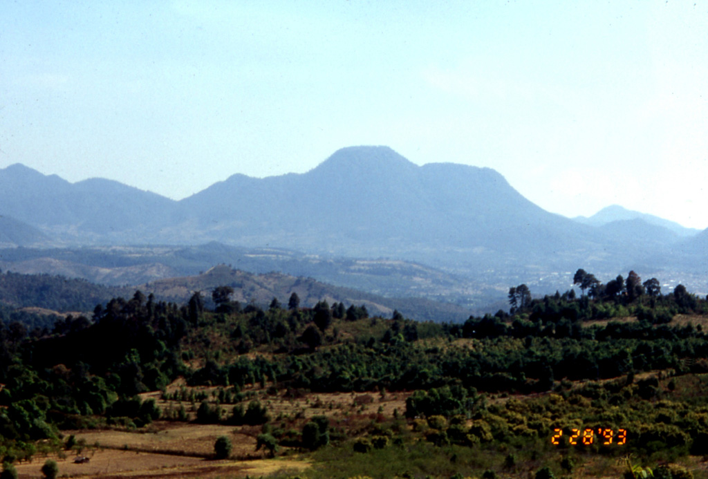
The Zitácuaro-Valle de Bravo volcanic field in the central part of the Trans-Mexican Volcanic Belt consists of a broad region of shield volcanoes, lava domes, and cinder cones surrounding the city of Heroica de Zitácuaro. The Zitácuaro volcanic complex itself, located SE of the city, was constructed within the 30-km-wide Las Tres Chicas caldera of Miocene age, which later underwent three post-caldera episodes of intra-caldera lava dome resurgence and included the intrusion of dacitic central lava domes, the emplacement of pyroclastic flows, and the eruption of andesitic lava flows. The youngest dated activity at the complex produced La Dieta airfall deposit about 31,000 years ago, and persistent local seismicity continues at Zitácuaro. The Valle de Bravo area to the south contains dominantly andesitic lava domes and flows, many of which were erupted along regional faults. The youngest flows were erupted at the bottom of a fault-controlled canyon; the most recent of these, west of the Valle de Bravo lake, has been Ar-Ar dated at about 5,200 +/- 2,300 years, and morphology suggests a Holocene age for other cones.
Riwayat letusan
1 tercatatGlosariumGaris waktu rinci
- 3050 SM (±2000 tahun)VEI 0Perkiraan geologi3050 SM – akhir tidak diketahuiWest of Valle de Bravo
Gunung api terdekat
Tautan eksternal
- Belum ada di Wikipedia (Bahasa Indonesia). Anda dapat berkontribusi di Wikidata.
- Halaman asli Smithsonian GVP
⚠ Untuk referensi saja. Bukan untuk tanggap darurat.