Guatemala · Stratovolkan
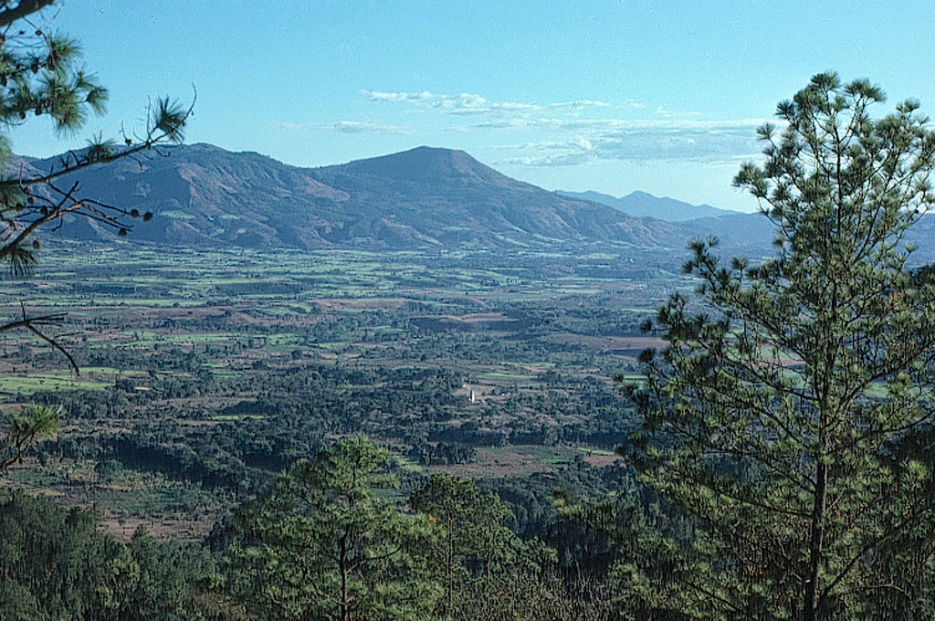
Volcán Jumaytepeque
Jumaytepeque
- Tipe
- Stratovolkan
- Ketinggian
- 1802 m
- Letusan terakhir
- Tidak diketahui
- Tipe
- Stratovolkan
- Negara
- Guatemala
- Wilayah
- Amerika Tengah & Karibia / Central America Volcanic Arc
- Ketinggian
- 1802 m
- Koordinat
- 14.340, -90.271
- Letusan terakhir
- Tidak diketahui
- Kondisi tektonik
- Zona subduksi / Kerak benua (> 25 km)
- Bentuk lahan
- Komposit
- Batuan utama
- Basal / Pikrobasal
Ringkasan geologi
Jumaytepeque is a small basaltic stratovolcano located NNE of the city of Cuilapa, north of the major NW-SE-trending Jalpatagua fault that cuts diagonally across SE Guatemala. The volcano was constructed near the SE rim of the large Miocene Santa Rosa de Lima caldera. It is not overlain by a ca. 23,000-year-old tephra unit from nearby Ayarza caldera, and its erosionally unmodified form suggests that Holocene activity is possible (Reynolds 2007, pers. comm.). Two older cinder cones to the north are covered with Ayarza tephra.
Ringkasan Wikipedia
Ringkasan InggrisVolcán Jumaytepeque is a stratovolcano in south-eastern Guatemala. The 1,815-metre-high (5,955 ft) volcano is located about 7 km north-north-east of the city of Cuilapa, near the south-eastern rim of the large Miocene Santa Rosa de Lima caldera.
Wikipedia · CC BY-SA · Baca artikel lengkap →
Riwayat letusan
GlosariumGaris waktu rinci
Tidak ada catatan letusan.
Gunung api terdekat
Tautan eksternal
⚠ Untuk referensi saja. Bukan untuk tanggap darurat.