Cile · Medan gunung api
Meullin
- Tipe
- Medan gunung api
- Ketinggian
- 1080 m
- Letusan terakhir
- Tidak diketahui
- Tipe
- Medan gunung api
- Negara
- Cile
- Wilayah
- Amerika Selatan / Southern Andean Volcanic Arc
- Ketinggian
- 1080 m
- Koordinat
- -45.220, -73.050
- Letusan terakhir
- Tidak diketahui
- Kondisi tektonik
- Zona subduksi / Kerak benua (> 25 km)
- Bentuk lahan
- Gugusan gunung api
- Batuan utama
- Basal / Pikrobasal
Ringkasan geologi
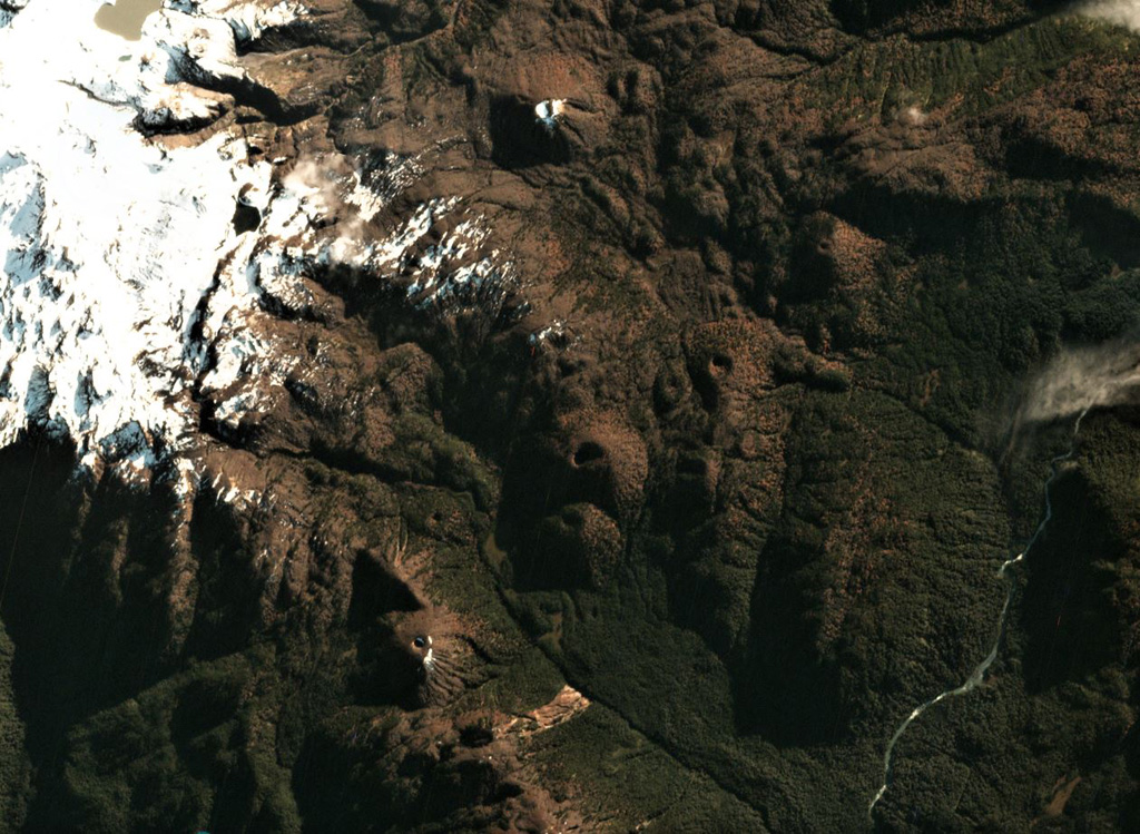
The Meullín volcanic field consists of a chain of well-preserved cinder cones along the Lago Meullín, Lago Yulton, Río Cuervo, and Quitralco fault segments of the regional Liquine-Ofqui fault zone. The cones straddle both sides of the Aisén (Aysén) Fjord and were considered to be of Holocene age (Vargas et al., 2013). The cinder cones, a few of which are sub-aquatic, extend to the south along NE-SW, NNE-SSW, and N-S lines from Yulton Lake. The largest concentration of cones lies between Meullín Lake and the older Pleistocene Meullín volcano located west of the volcanic field, and additional forested cinder cones were constructed along the Río Pescado valley south of Aisén Fjord.
Riwayat letusan
GlosariumGaris waktu rinci
Tidak ada catatan letusan.
Gunung api terdekat
Tautan eksternal
- Belum ada di Wikipedia (Bahasa Indonesia). Anda dapat berkontribusi di Wikidata.
- Halaman asli Smithsonian GVP
⚠ Untuk referensi saja. Bukan untuk tanggap darurat.