Antarktika · Stratovolkan
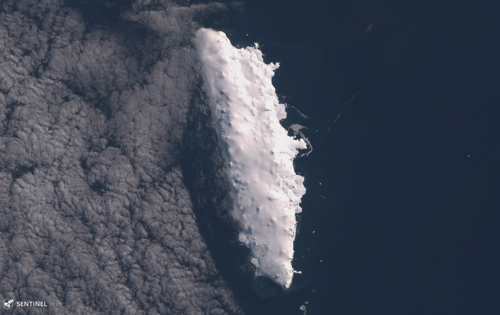
Buckle Island
- Tipe
- Stratovolkan
- Ketinggian
- 1239 m
- Letusan terakhir
- 1899
- Tipe
- Stratovolkan
- Negara
- Antarktika
- Wilayah
- Antarktika & Scotia / Balleny Hotspot Volcano Group
- Ketinggian
- 1239 m
- Koordinat
- -66.780, 163.250
- Letusan terakhir
- 1899
- Kondisi tektonik
- Zona rift / Kerak samudra (< 15 km)
- Bentuk lahan
- Komposit
- Batuan utama
- Trakibasal / Tefrit basanit
Ringkasan geologi
Buckle Island is in the center of a 160-km-long chain of volcanic islands forming the Balleny Islands off the coast of Antarctica's Victoria Land. The islands are located at the southern end of a submarine ridge system that extends north to New Zealand, but is offset by the Indian-Antarctic ridge system. The elongated, 21-km-long island is capped by an gently sloping icecap that descends steeply to the sea between rocky cliffs. Dark eruption columns were reported during 1839 and 1899, but no detailed geological studies exist for the Balleny Islands volcanoes.
Ringkasan Wikipedia
Ringkasan InggrisBuckle Island is one of the three main islands in the uninhabited Balleny Islands group located in the Southern Ocean. It lies 25 km (16 mi) north-west of Sturge Island and 8 km (5 mi) south-east of Young Island, some 110 km (68 mi) north-north-east of Belousov Point on the Antarctic mainland.
Wikipedia · CC BY-SA · Baca artikel lengkap →
Riwayat letusan
2 tercatatGlosariumGaris waktu rinci
- 1899VEI 2Teramati1899-01-12 – akhir tidak diketahui
- 1839VEI 2Teramati1839-02-09 – akhir tidak diketahui
Gunung api terdekat
Tautan eksternal
⚠ Untuk referensi saja. Bukan untuk tanggap darurat.