Papua Nuova Guinea · Stratovulcano
Hydrographers Range
- Tipo
- Stratovulcano
- Altitudine
- 1915 m
- Ultima eruzione
- Sconosciuto
- Tipo
- Stratovulcano
- Paese
- Papua Nuova Guinea
- Regione
- Pacifico sud-occidentale / Trobriand Volcanic Province
- Altitudine
- 1915 m
- Coordinate
- -9.000, 148.370
- Ultima eruzione
- Sconosciuto
- Contesto tettonico
- Zona di subduzione / Crosta continentale (> 25 km)
- Forma vulcanica
- Composito
- Roccia principale
- Andesite / Andesite basaltica
Sintesi geologica
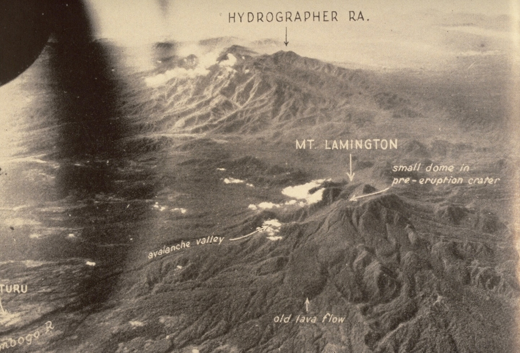
The Hydrographers Range is a forested, deeply dissected andesitic volcanic massif extending from the eastern margin of Mount Lamington north to the coast of eastern Papua New Guinea. Most activity took place during the Pleistocene, but perfectly preserved cinder cones and explosion craters on the southern side of the range suggested that some activity took place during the Holocene (Taylor, 1958). Other well-preserved cones are situated in the high country overlooking Songade village on the coast.
Sintesi da Wikipedia
Riassunto in ingleseThe Hydrographers Range is a forested mountain range in the Oro Province of southeastern Papua New Guinea. It extends from the eastern margin of Mount Lamington in the west to the Pacific Ocean coast in the east.
Wikipedia · CC BY-SA · Leggi l'articolo completo →
Storia delle eruzioni
GlossarioCronologia dettagliata
Nessuna registrazione di eruzioni disponibile.
Vulcani nelle vicinanze
Link esterni
⚠ Solo a scopo informativo. Non adatto a situazioni di emergenza.