Papua Nuova Guinea · Campo vulcanico
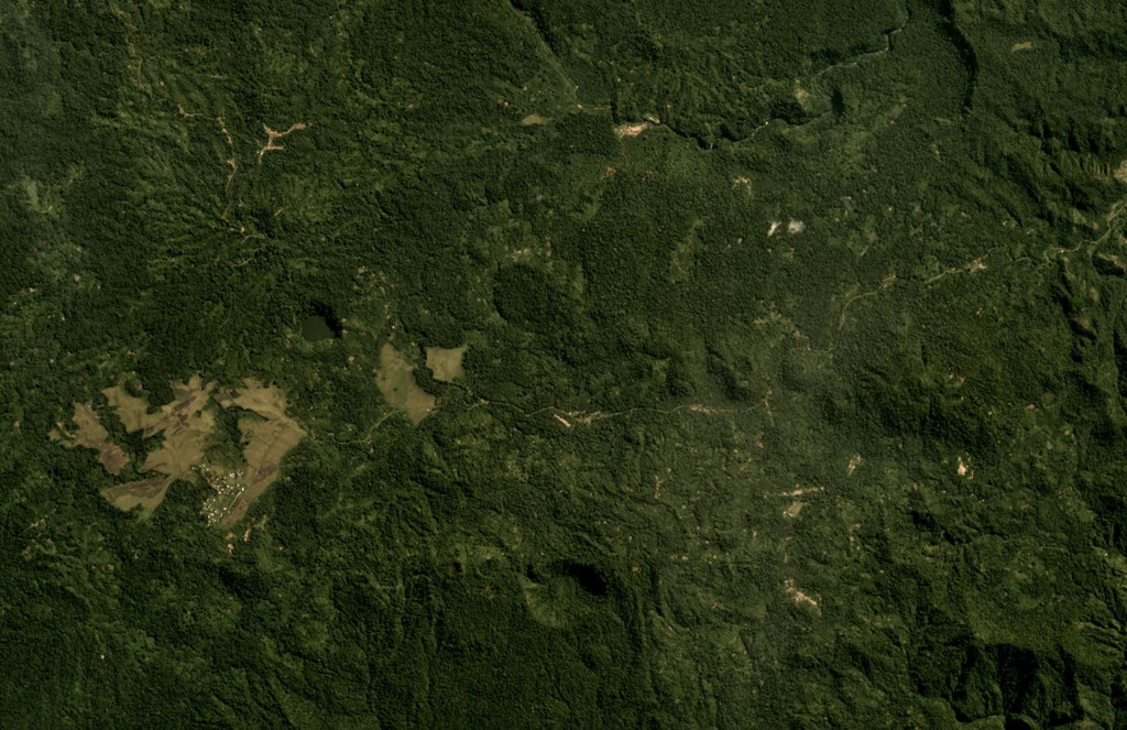
Managlase Plateau
- Tipo
- Campo vulcanico
- Altitudine
- 1342 m
- Ultima eruzione
- Sconosciuto
- Tipo
- Campo vulcanico
- Paese
- Papua Nuova Guinea
- Regione
- Pacifico sud-occidentale / Trobriand Volcanic Province
- Altitudine
- 1342 m
- Coordinate
- -9.080, 148.330
- Ultima eruzione
- Sconosciuto
- Contesto tettonico
- Zona di subduzione / Crosta continentale (> 25 km)
- Forma vulcanica
- Gruppo vulcanico
- Roccia principale
- Trachibasalto / Tefrite basanite
Sintesi geologica
Thirty small volcanic centers of late-Pleistocene to Holocene age are located in SE Papua New Guinea on the Managlase Plateau, south of the Hydrographers Range and SW of the Dyke Ackland Bay. The fault-bounded plateau forms a triangular-shaped area with trachybasaltic lava cones and flows, scoria mounds, cinder cones, and explosion vents of the Uoivi Volcanics, and capped on its eastern side by rhyodacitic ash cones, lava domes, and ashflow deposits of the Manna Volcanics. The date of the most recent eruption is not known, but the trachybasaltic Kururui cinder cone and a nearby explosion crater were active within memory of nearby residents (Ruxton, 1966).
Storia delle eruzioni
GlossarioCronologia dettagliata
Nessuna registrazione di eruzioni disponibile.
Vulcani nelle vicinanze
Link esterni
- Non ancora su Wikipedia (Italiano). Puoi contribuire su Wikidata.
- Pagina originale Smithsonian GVP
⚠ Solo a scopo informativo. Non adatto a situazioni di emergenza.