Indonesia · Stratovulcano
Perbakti-Gagak
- Tipo
- Stratovulcano
- Altitudine
- 1726 m
- Ultima eruzione
- 1939
- Tipo
- Stratovulcano
- Paese
- Indonesia
- Regione
- Sunda e Banda / Sunda Volcanic Arc
- Altitudine
- 1726 m
- Coordinate
- -6.750, 106.675
- Ultima eruzione
- 1939
- Contesto tettonico
- Zona di subduzione / Crosta continentale (> 25 km)
- Forma vulcanica
- Composito
- Roccia principale
- Andesite / Andesite basaltica
Sintesi geologica
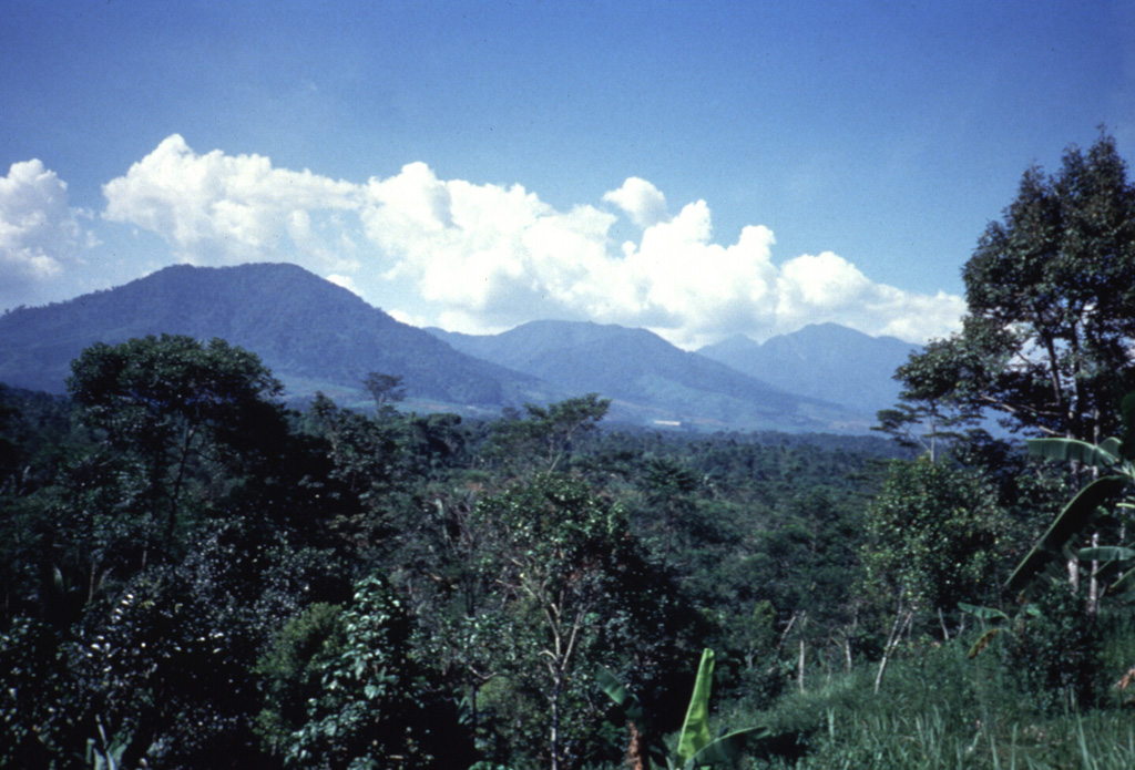
The Perbakti-Gagak volcanic complex, also known as Kiaraberes-Gagak, is a cluster of deeply eroded stratovolcanoes situated immediately SW of Salak volcano. The summit ridge of Gunung Perbakti is elongated in a NW-SE direction, and Gunung Endut volcano rises above a saddle to its SW. Gunung Gagak, to the NW, is capped by pumice and obsidian, with obsidian lava flows extending N and NE. Quaternary rhyolitic lava domes form a NNE-trending chain at the eastern side of the complex. Two 2-km-wide depressions on the northern and southern sides of Perbakti form the headwaters of the Kaluwung Herang and Pamatutan rivers, respectively. The complex is marked by vigorous geothermal activity. Fumaroles, mud pots, and hot springs are located on the S and SE flanks of Perbakti and at the Kiaraberes area, which includes the commercial geothermal field of Awibengkok. Mild phreatic eruptions took place during the Holocene into historical time from flank fumarolic fields.
Storia delle eruzioni
7 registrateGlossarioCronologia dettagliata
- 1939VEI 1Osservata1939-04-06 – fine sconosciutaKawah Parabakti
- 1938VEI 1Osservata1938-12-16 – fine sconosciutaKawah Parabakti
- 1936VEI 1Osservata1936-10-26 – 1936-10-28Cipanas Parabakti
- 1935VEI 1Osservata1935-05-31 – fine sconosciutaKawah Cibodas
- 1929VEI 1Osservata1929-07-02 – fine sconosciutaCibeureum West
- 1923VEI 1Osservata1923-06-16 – fine sconosciutaKawah Cibodas
- 6450 a.C.VEI ?Stima geologica6450 a.C. – fine sconosciutaKiaraberes
Vulcani nelle vicinanze
Link esterni
- Non ancora su Wikipedia (Italiano). Puoi contribuire su Wikidata.
- Pagina originale Smithsonian GVP
⚠ Solo a scopo informativo. Non adatto a situazioni di emergenza.