Indonesia · Stratovulcano
Hiri
- Tipo
- Stratovulcano
- Altitudine
- 687 m
- Ultima eruzione
- Sconosciuto
- Tipo
- Stratovulcano
- Paese
- Indonesia
- Regione
- Pacifico occidentale / Halmahera Volcanic Arc
- Altitudine
- 687 m
- Coordinate
- 0.897, 127.317
- Ultima eruzione
- Sconosciuto
- Contesto tettonico
- Zona di subduzione / Crosta oceanica (< 15 km)
- Forma vulcanica
- Composito
- Roccia principale
- Basalto / Picrobasalto
Sintesi geologica
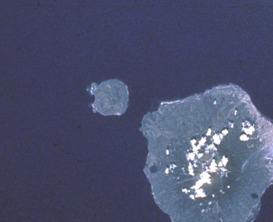
Hiri is a 3-km-wide forested island immediately north of Gamalama on Ternate Island, and is the northernmost of a chain of volcanic islands off the western coast of Halmahera. Two conical volcanic edifices are present within a larger caldera open to the W. Apandi and Sudana (1980) mapped it as Holocene in age, but no eruptions have been dated or reported.
Sintesi da Wikipedia
Riassunto in ingleseHiri is a small, 3-kilometre-wide forested island immediately north of the island of Ternate, in the Maluku Islands of Indonesia. It is located at the northernmost part of a chain of volcanic islands off the western coast of Halmahera. It is a conical stratovolcano which rises to 630 m (2,067 ft). The island covers 9.72 km2 and had a population of 2,880 in mid 2023; it is administered as a district (kecamatan) of the City of Ternate. Its dominant neighbour to the south is the more active volcano of Mount Gamalama, on Ternate island.
Wikipedia · CC BY-SA · Leggi l'articolo completo →
Storia delle eruzioni
GlossarioCronologia dettagliata
Nessuna registrazione di eruzioni disponibile.
Vulcani nelle vicinanze
Link esterni
⚠ Solo a scopo informativo. Non adatto a situazioni di emergenza.